
From Svaneti to Kazbegi, from Kakheti to Vardzia. A two-weeks journey connecting different landscapes and people.
In ancient Greek myth, the hero Jason and the Argonauts, sailing aboard the Argo, eventually reach the kingdom of Colchis on the eastern coast of the Black Sea after many adventures, and there they find the Golden Fleece…
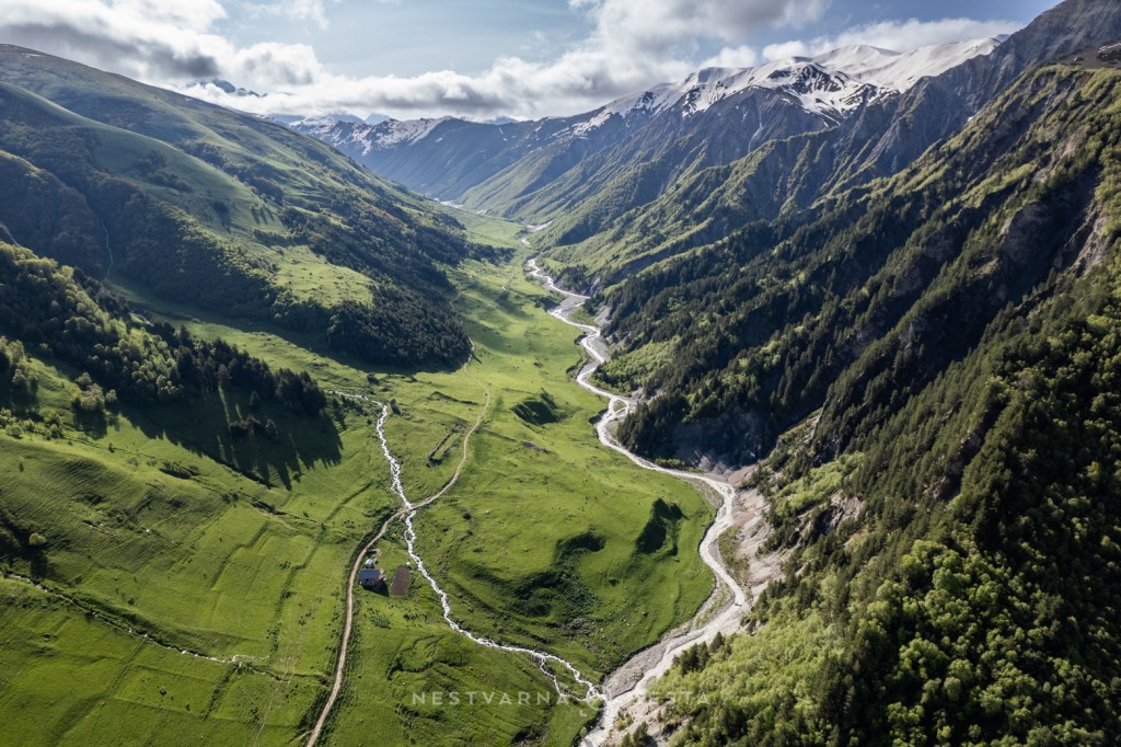
Behind this story lies a people who inhabited the mountainous regions of the southern Caucasus, in present-day Georgia, and who from ancient times developed techniques for panning gold from the local mountain rivers, using sheepskins for separation.
The story of the Golden Fleece is therefore a story of the eternal quest for mineral wealth. The mountain people who supplied the “gold-rich Colchians” were the ancient Svans – and their land beneath the snow-covered peaks of the Caucasus was Svaneti (სვანეთი).
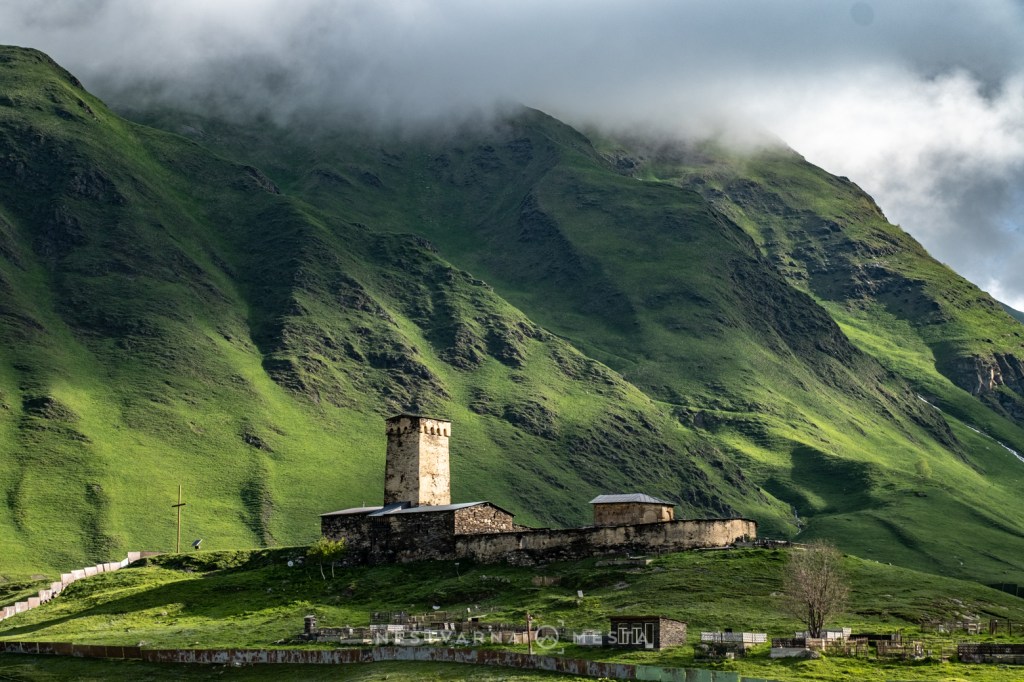
Today’s Svans are descendants of one of the oldest Georgian, or more precisely Kartvelian tribes. Georgians do not call themselves Georgians – that is a name imposed on them by the western world. In Georgian, Georgia is called Sakartvelo (საქართველო), while its inhabitants are Kartvelebi (ქართველები).
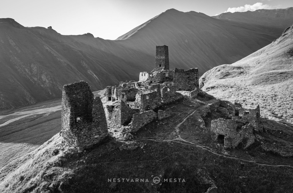
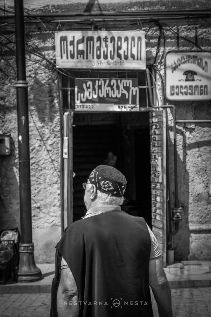
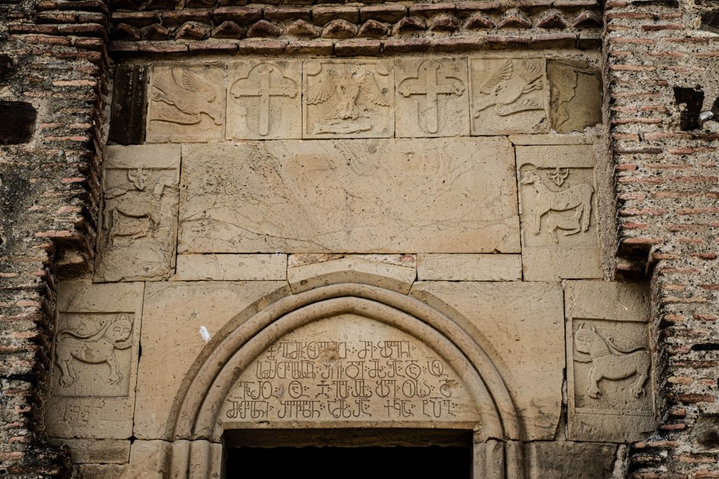
They are an indigenous people with a very ancient language and script whose origins remain little known. Transliteration from the Latin into the Georgian alphabet is not overly complicated, and with a little practice and effort it is possible to decipher what is written. In antiquity, two kingdoms existed on the territory of present-day Georgia. In the west, along the Black Sea, lay Colchis, while in the east was Iberia, whose centre was today’s Georgian capital, Tbilisi (Tiflis).
Georgians are Orthodox Christians. Georgia and Armenia are eastern beacons of Christianity, and it is remarkable that over the centuries they withstood Ottoman, Tatar and Persian conquerors of the Muslim faith. The Golden Age, aetas aurea, of the Kingdom of Georgia lasted from the 11th to the 13th century.
As many as five rulers in Georgia’s golden period bore the regnal name George (or Giorgi), after the saint who is especially revered in this country. Thus, in the West, the name Georgia came to be accepted for the kingdom between the Black Sea and the Caucasus.
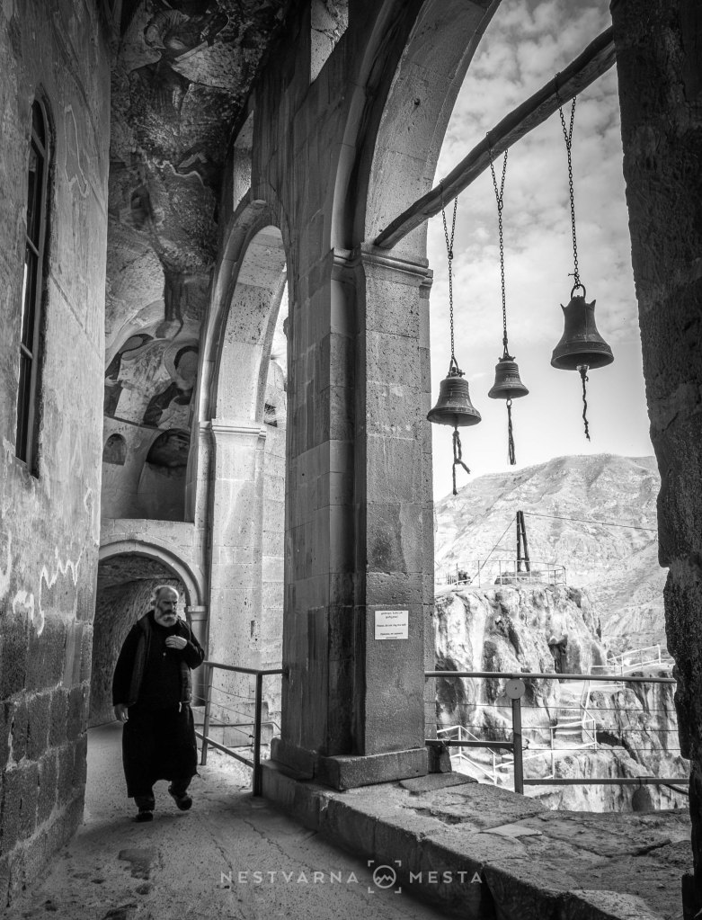
Georgia is an enchanting country of astonishing biodiversity, where tourism has not yet managed to spoil the people. Welcoming, unpretentious, and with a ritch cuisine. The Caucasus Mountains, with peaks reaching as high as 5,000 metres, form a natural barrier protecting Georgia from the cold air of Siberia. Warm currents from the Mediterranean, travelling across the Black Sea, favour the cultivation of tea and grapevines. Georgia is the European cradle of wine, with a tradition several millennia old.
The mountainous north of Georgia is covered in seemingly endless forests and cut by narrow river valleys. The forest belt reaches as high as 2,500 metres above sea level. Grassy pastures are less common in northern Georgia, and are confined to a narrow altitude belt between the deep valleys and the eternal snow and ice above 3,000 metres.
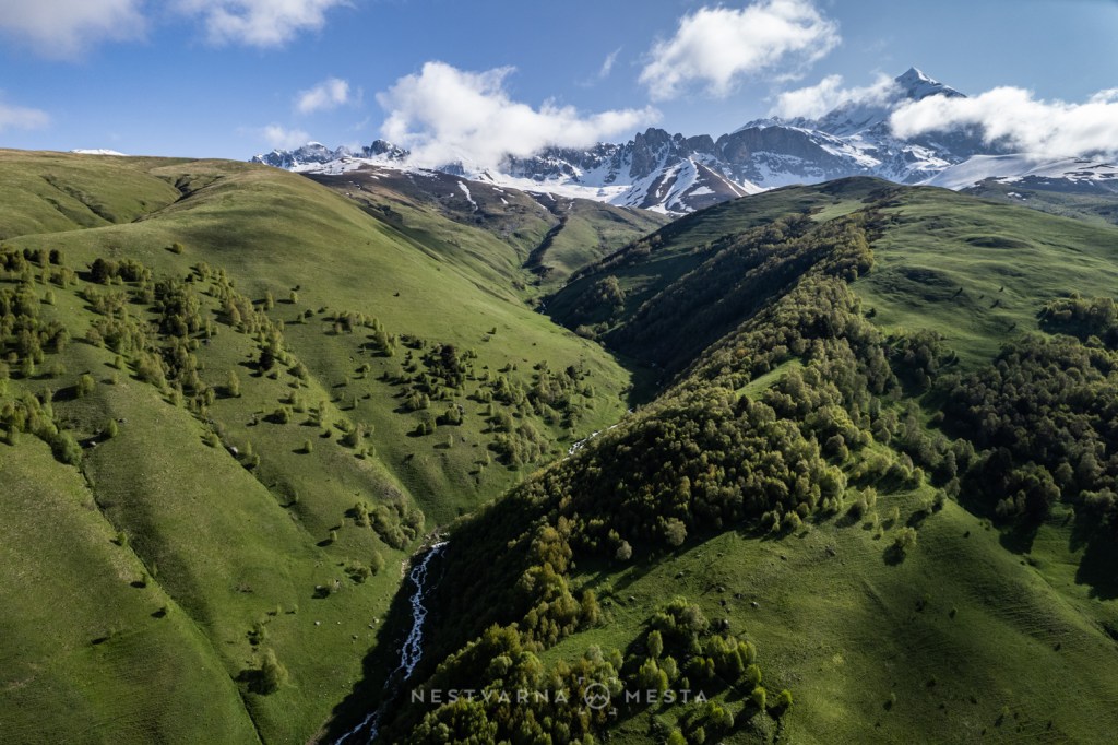

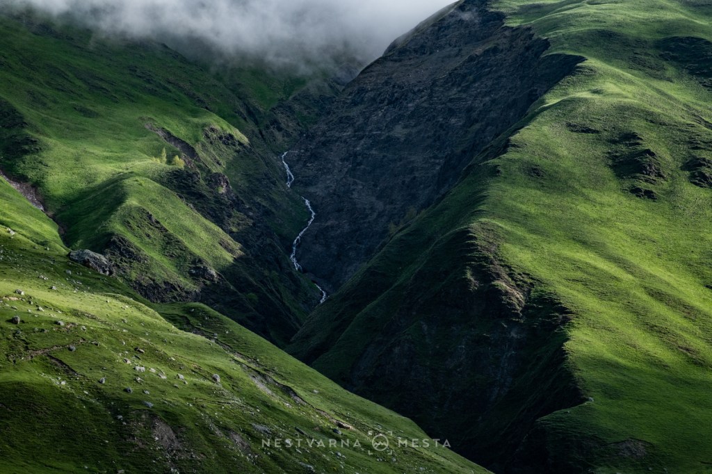
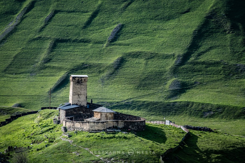

Georgia today appears caught at the crossroads of geopolitical divisions between Russia and the West, while Moscow continues to occupy 20% of its territory by force. The areas in question are the former Soviet autonomous regions of Abkhazia and South Ossetia. Relations between Georgia and Russia are marked by a complex mix of dependence and hostility between two highly unequal neighbours.
On the one hand, resentment toward Russia remains profound, driven by the occupation of Georgian territory and Moscow’s invasion of Ukraine, a country seen as a friend and ally. On the other hand, Russia has long been Georgia’s largest trading partner. For many Georgians, Russian language remains a key window to the wider world, while English is used to a more limited extent, mainly by younger generations.
Unresolved territorial disputes, weak institutions, and the ambiguity surrounding European integration have, much like in Serbia, become a smokescreen for large-scale corruption carried out by the political elites.

Svaneti სვანეთი.
We headed into the mountains from the old capital, Kutaisi, Georgia’s second-largest city. The road from Kutaisi to the mountains in the north is long and demanding, especially when approaching from the west, through the Enguri River canyon. An alternative is the new road across the Zagari Pass (2,600 m) and through the Koruldashi River valley (the road is passable only from June to October).
The logical plan is to complete the loop – arrive on one side of the mountain and return on the other. We travelled in early June as a group of three.

Svaneti 7-days loop: Kutaisi – Tskaltubo – Martvili – Mazeri – Mestia – Adishi – Ushguli – Zagari – Kutaisi.
There was a little bit of everything, just as there should be on a first encounter with an intriguing mountain country. We opened the door to Georgia through the abandoned Soviet-era sanatoriums of the spa town Tskaltubo. On the way to the high mountains, we also stopped at an old Georgian monastery (Martveli).
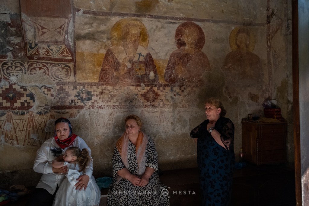
Finally, beneath the snow-covered peaks of the Caucasus, we spent a total of five days, most of them above 2,000 metres (after Mazeri and Mestia, we also spent nights in the villages of Adishi and Ushguli). There was time to move a step closer to the monumental peaks of this part of the world – Ushba, Shkhara and Tetnuldi. And finally, with its colourful market, gastronomy and architecture, Kutaisi deserves a full day on the return journey.
The administrative centre of Upper Svaneti is the small town of Mestia (მესტია). A cluster of several old villages has, in recent decades, partly transformed into a tourist settlement which, despite poor roads and its remote location, attracts devotees of both summer hiking and winter skiing.
A visit to the Svaneti Museum of History, with its rich collection of icons, is a must, as is the tiny Lagami church hidden in the rural outskirts of the settlement and dating from the 13th century.
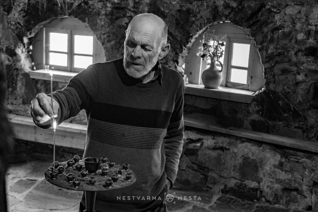
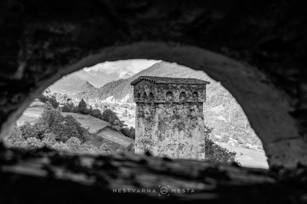
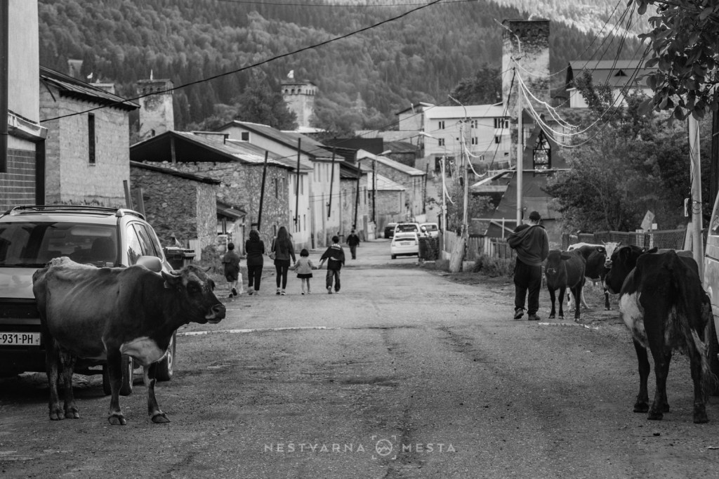
A high-mountain hiking route also starts from Mestia and, via the village of Adishi, reaches the highest permanently inhabited settlement in Georgia – the village of Ushguli, with its many “koshki” towers.
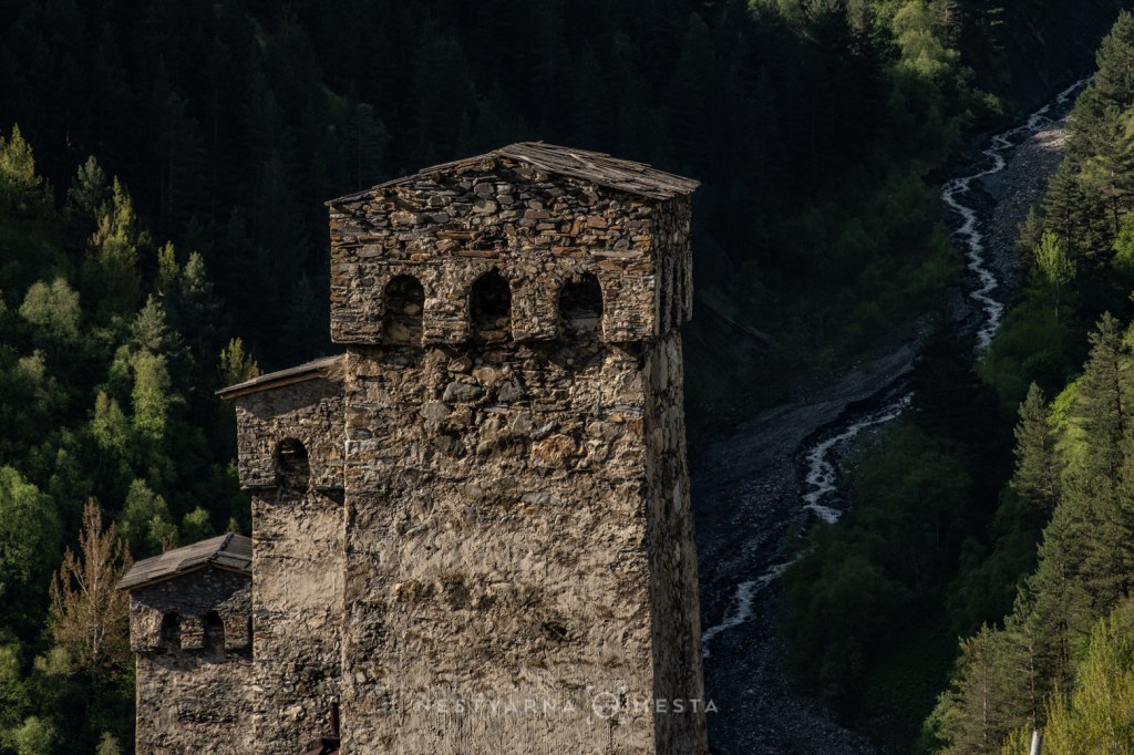
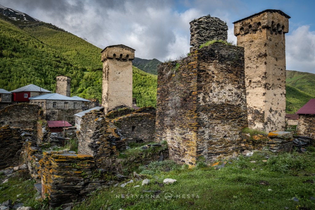
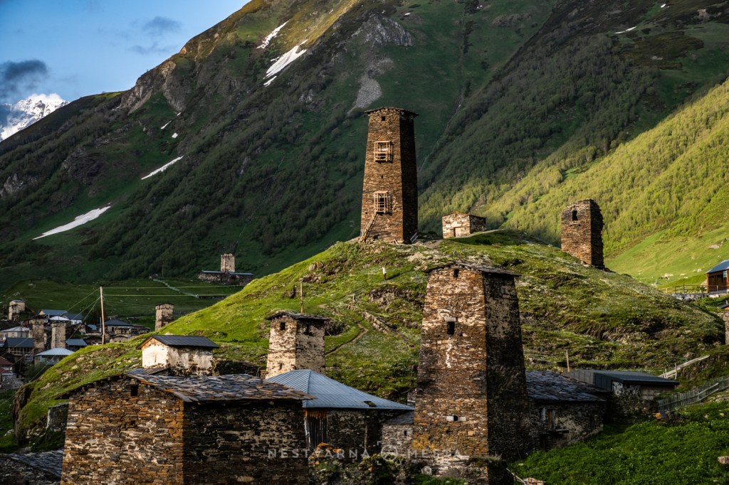
The “koshki” tower is the hallmark of Svaneti. At least one such tower can be seen in every hamlet, and they date back to the Middle Ages. A koshki tower is an essential part of the traditional Svan house, built specifically for times of conflict. It provided important protection from unwanted raiders, but also from neighbours and neighbouring clans during periods of blood feud. Originally the tower had no windows, only small openings through which people could shoot or throw stones at an attacker.
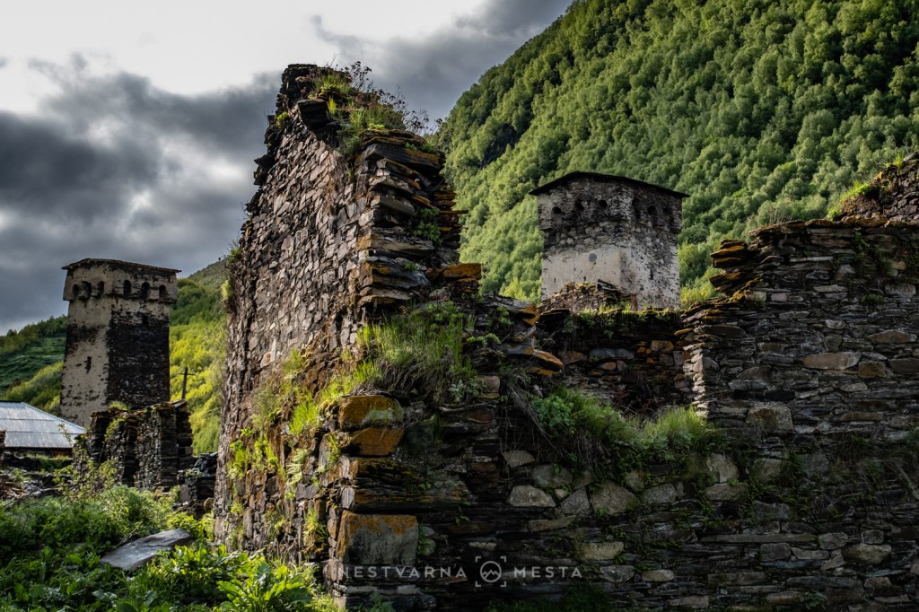
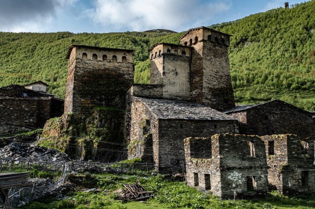

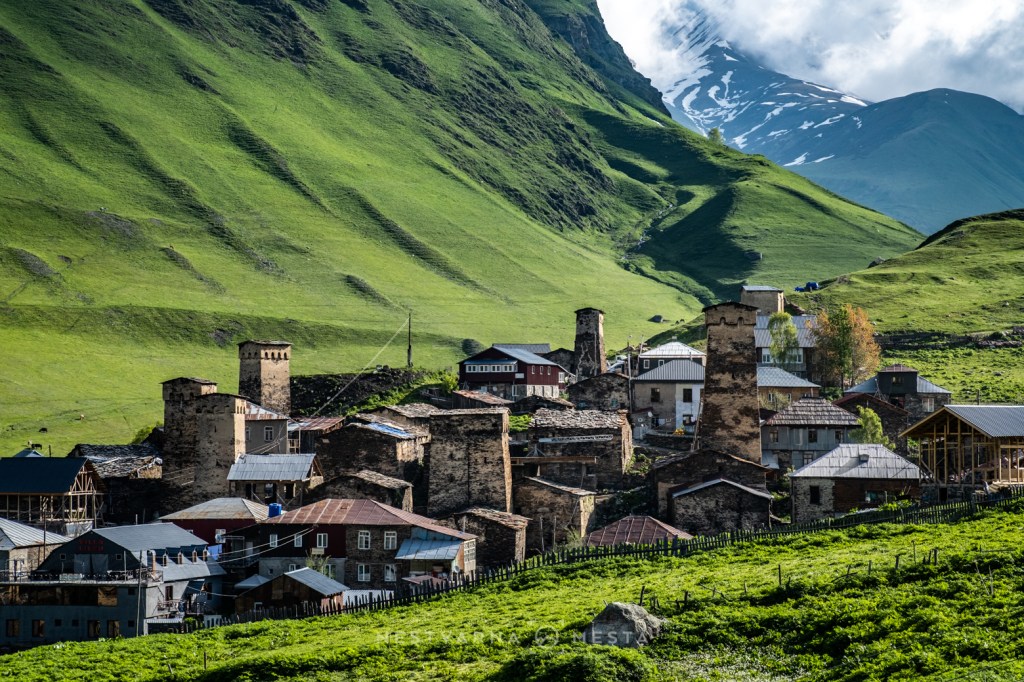
Before making our way from Mestia to Ushguli, we spent the night in another old Svan village, Adishi.
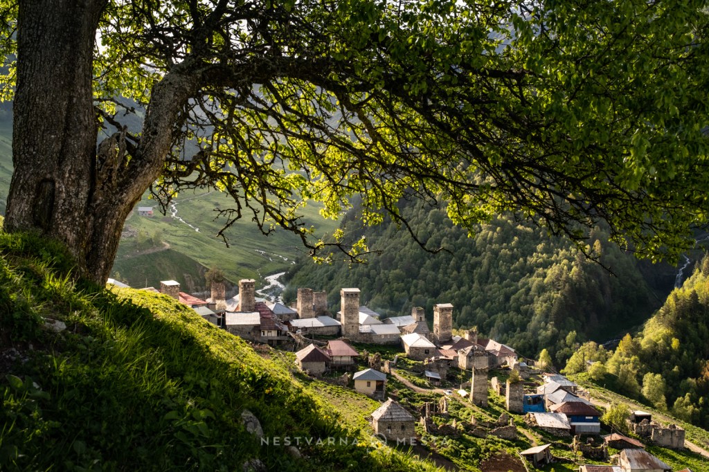

Situated at an altitude of 2,075 m, Adishi (ადიში) is not a seasonal mountain settlement – people and their livestock live here all year round. Winters are, as expected, cold and harsh. Some of the old houses have been abandoned and partly collapsed under the weight of accumulated snow. Several larger Soviet-style co-operative buildings are also visible at the entrance to the village. People and livestock live side by side here, sharing the same neighbourhood.
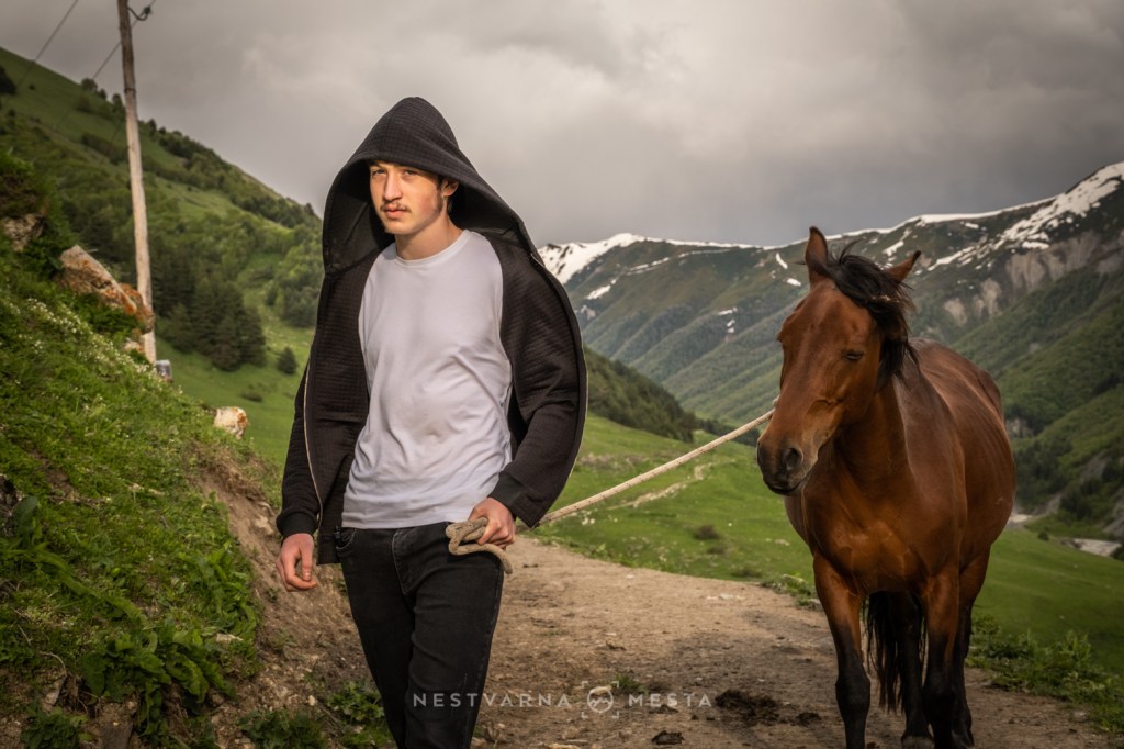
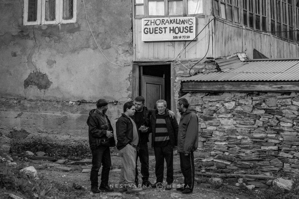

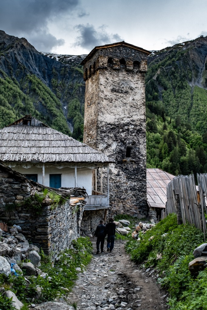
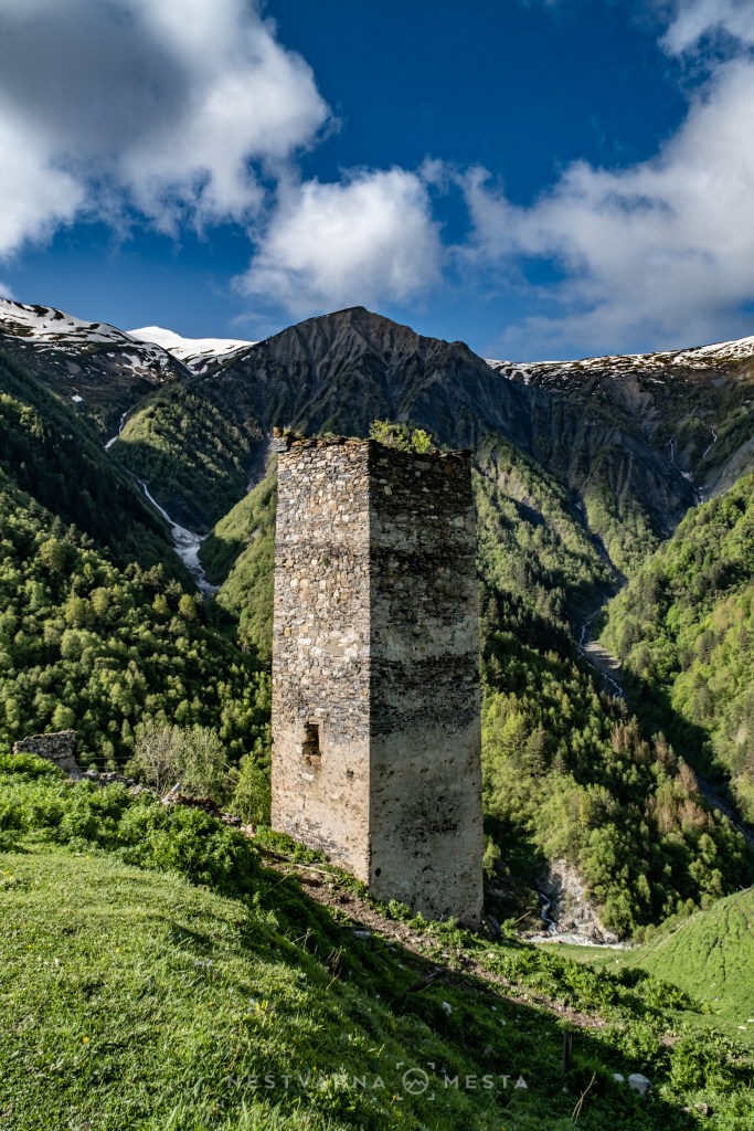
We stayed with local hosts in modest wooden rooms, without any advance booking. The following day, when the clouds cleared, Adishi revealed its more beautiful face. The position of the village on the edge of a deep valley is impressive.
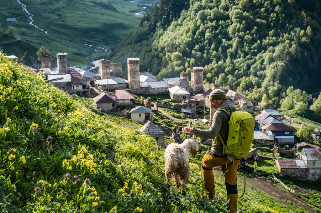
Villages like this one in Upper Svaneti have been given a new lease of life since the multi-day hiking route from Mestia to Ushguli made its way onto the bucket lists of hiking communities. Georgia’s own version of the Peaks of the Balkans passes straight through this village beneath the clouds, until recently almost forgotten by the world. Anyone who does not want to arrive on foot must reckon with ten kilometres of demanding mountain road with a proper off-road vehicle.
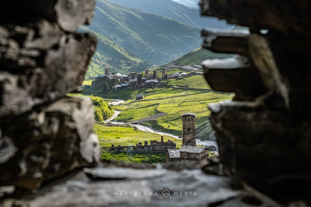
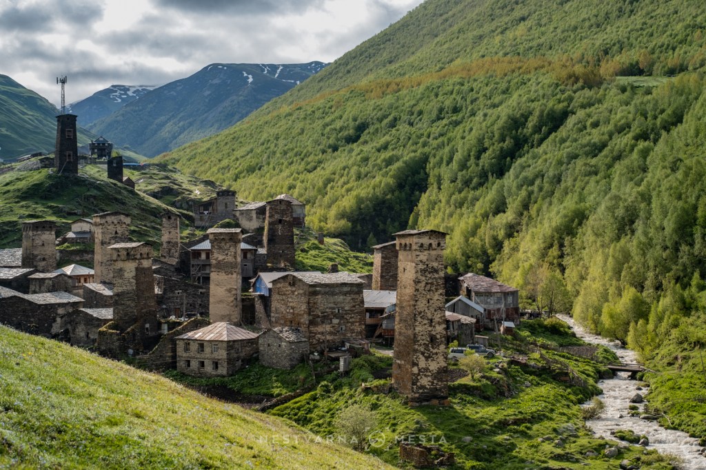
And finally, Ushguli (უშგული), the final stop on the multi-day thru-hike across Svaneti and, at the same time, a gateway for those who want to venture deeper into the snowy expanses of the Greater Caucasus. Ushguli consists of five old medieval hamlets with fascinating Svan towers, which in recent years have been rapidly transforming into tourist settlements (in other words, everyone builds and extends whatever they like).
An asphalt road has recently reached Ushguli, while the traditional buildings of stacked black stone are slowly but surely losing their battle with the cheeper solutions of modern construction. That is why Ushguli should be visited as soon as possible – or, better still, in winter.
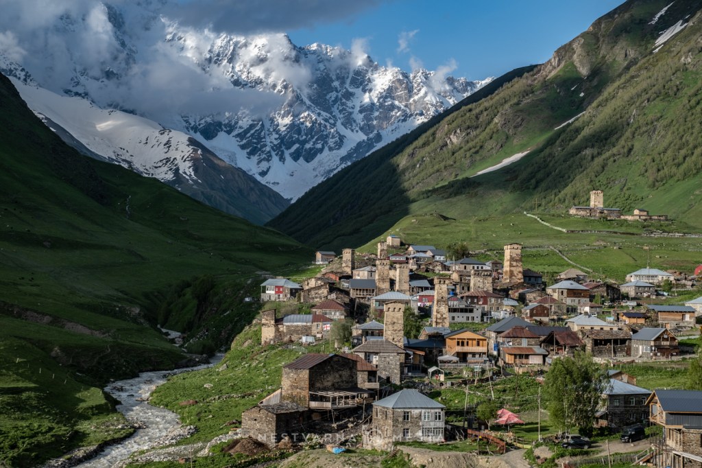
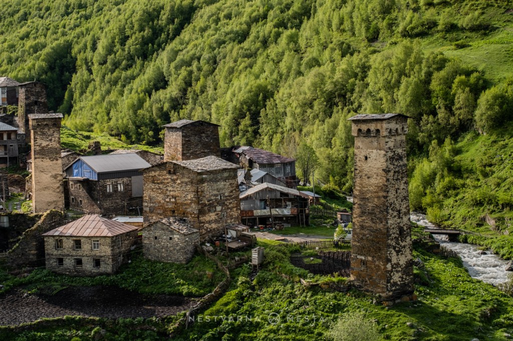
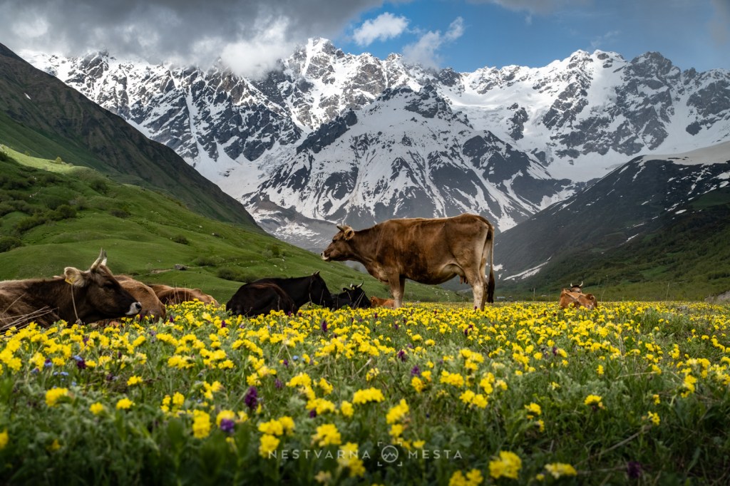
Ushguli is a magnet for visitors precisely because of its fairy-tale view of mysterious towers with mighty snow-covered mountain peaks in the background. Dominating the scene is monumental Shkhara (შხარა), at 5,193 metres unclimbable for most ordinary mortals.
Shkhara is the highest peak in Georgia and also forms part of the border ridge with Russia.
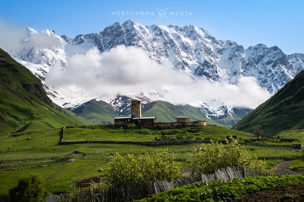
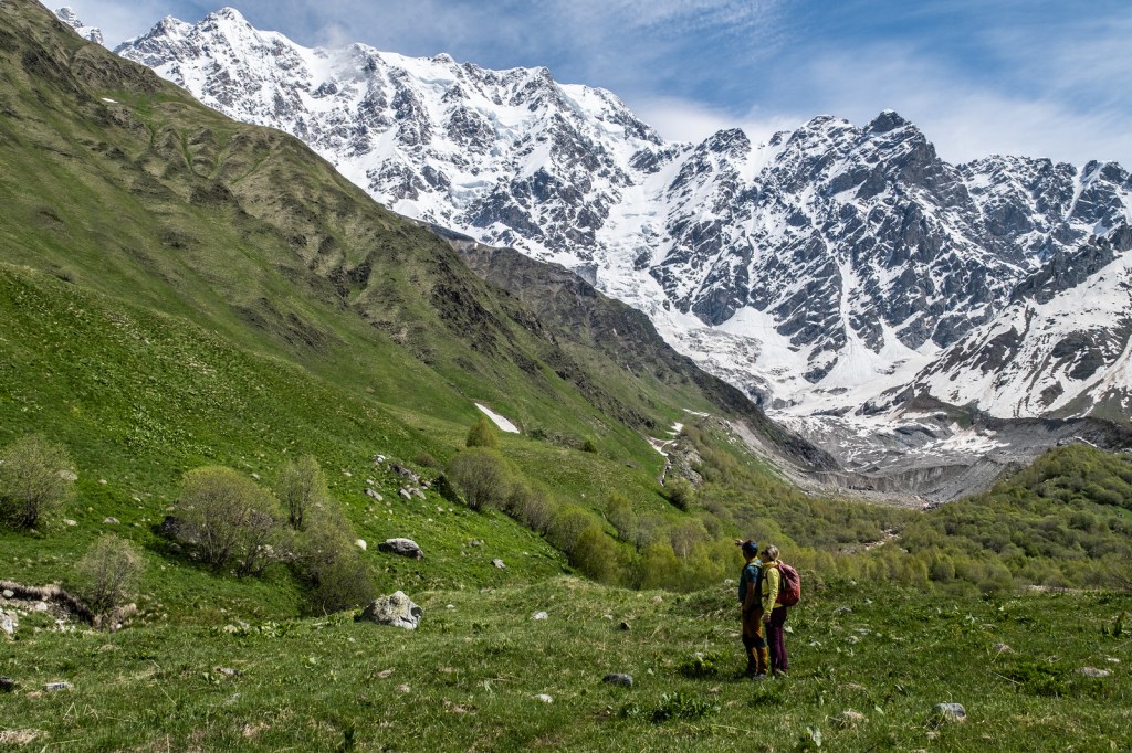
It is early June, mountain slopes above 2,500 m are still covered in snow. For more ambitious mountaineering goals, it is worth coming to Svaneti somewhat later. Instead of heading into the kingdom of snow and ice, we climbed the grassy summit of Guri (2,960 m) above Ushguli. The summit ridge lies 900 vertical metres above the village below, from where, when the clouds allow it, views open towards the mighty wall opposite, scored by numerous glaciers.
For a close-up view of the glaciers, the following day we followed a well-trodden trail into the vast cirque of Shkhara. Early June was too soon to reach the nearby mountain lake, but we approached the source of the mighty Enguri, the most important river of western Georgia, whose canyon we had travelled through on our way from Kutaisi to Mestia. The Enguri hydroelectric power station we passed along the way produces electricity for half of Georgia.
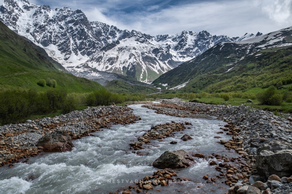
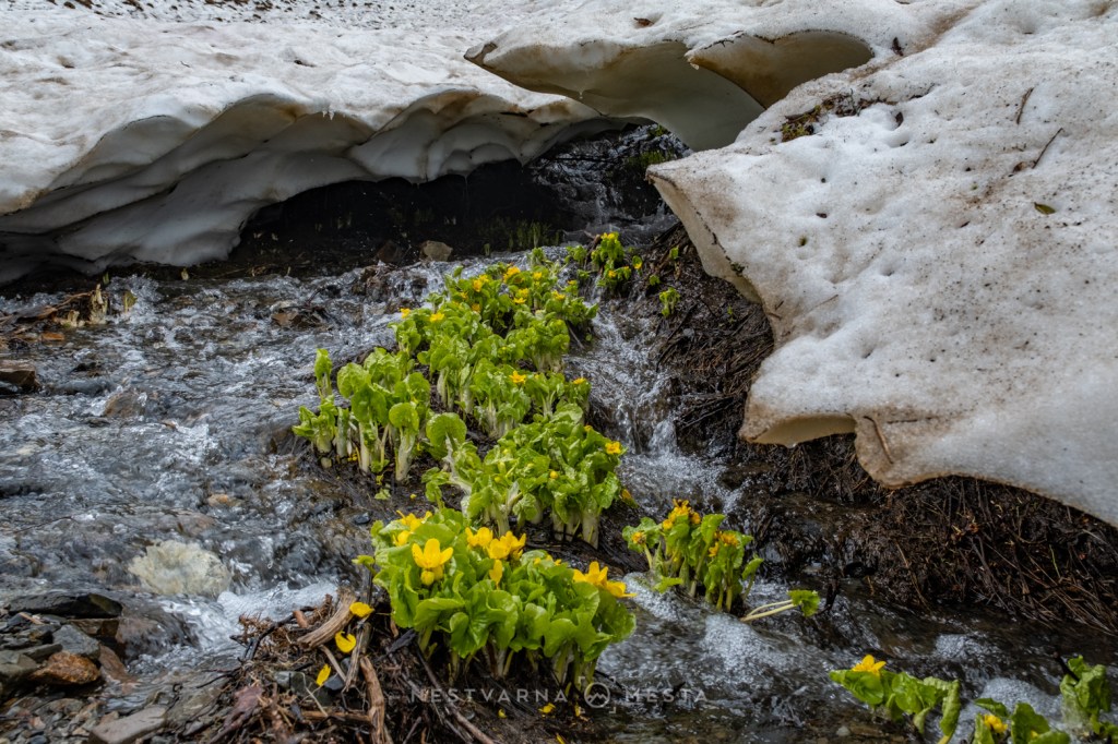
We returned to Kutaisi via the spectacular Zagari Pass, near which there is an attractive viewpoint with a small church. If you are not fond of walking long distances, this is certainly one of the easier ways to find yourself at an altitude of 2,700 metres in the middle of the Caucasus!

For an accompanying urban programme and a closer cultural introduction to Georgia before and after the mountains, there was Kutaisi – where we arrived on a direct flight from Budapest – as well as the nearby town of Tskaltubo.
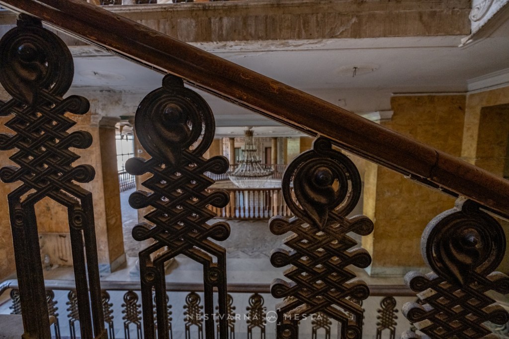
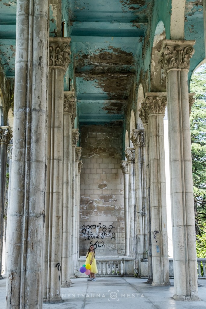
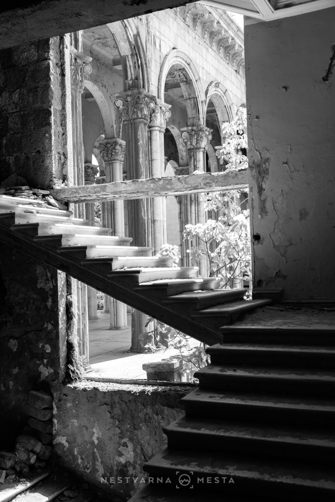
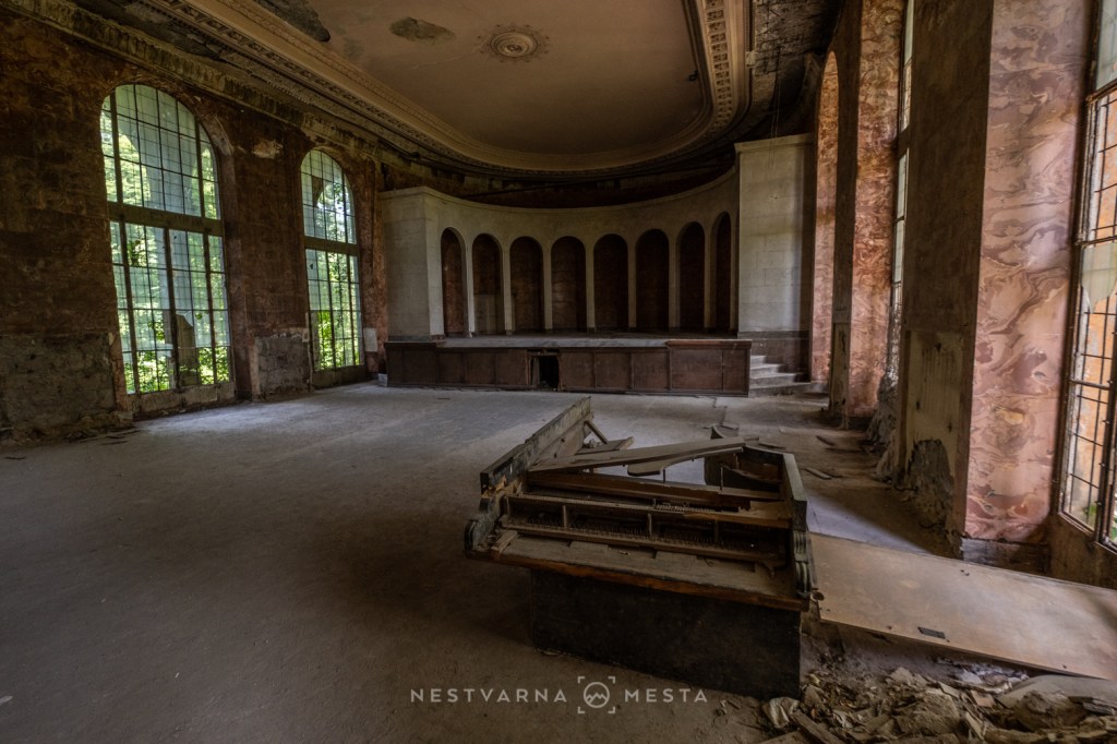
Tskaltubo is a famous spa resort whose glory days were during the Soviet Union. Its once prestigious sanatoriums (“Medea”, “Imereti”, “Metalurg”), some dating back to Stalin’s era and built, among others, by German prisoners of war, fell into decline and ruin after the collapse of the USSR and the change of political system in the early 1990s.
While uncertain reconstruction and restoration are awaited, Tskaltubo remains to a large extent a ghost town and a destination for devotees of urbex, or “urban exploration”, tourism.
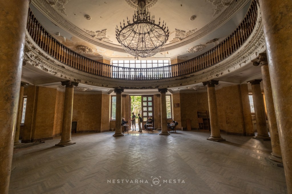
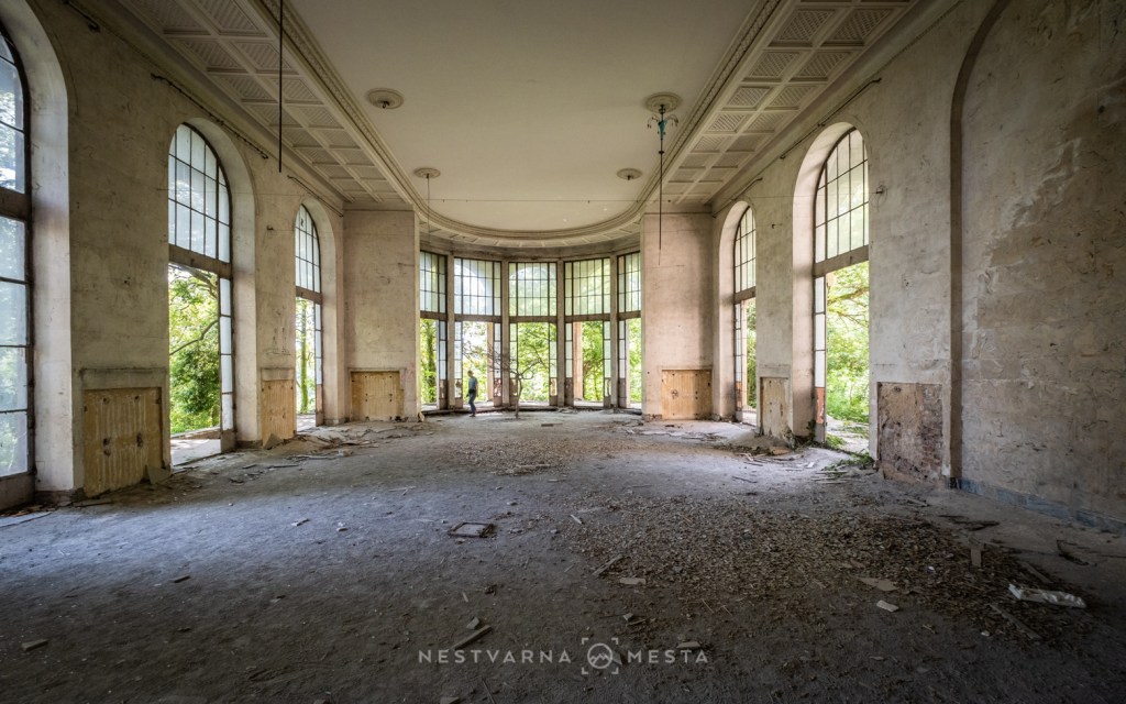
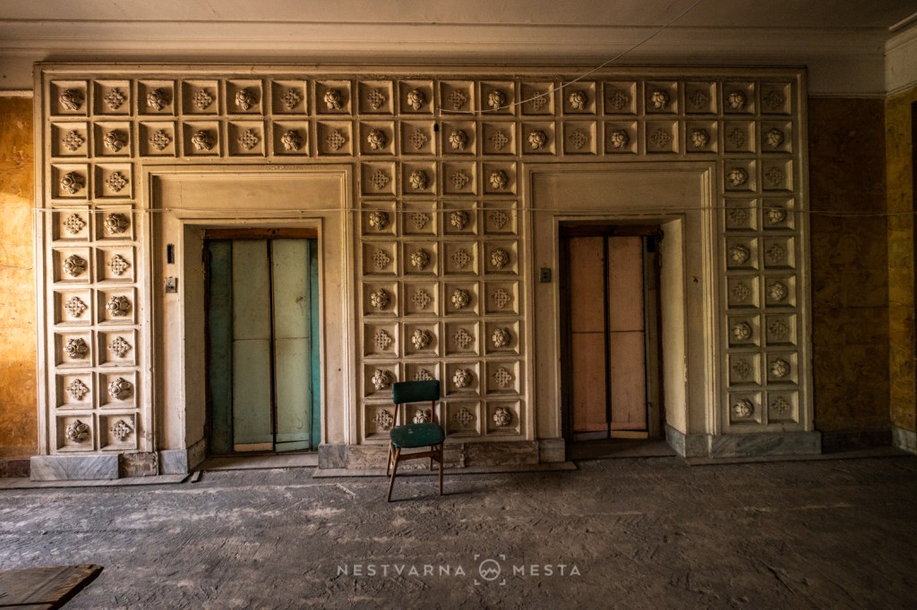

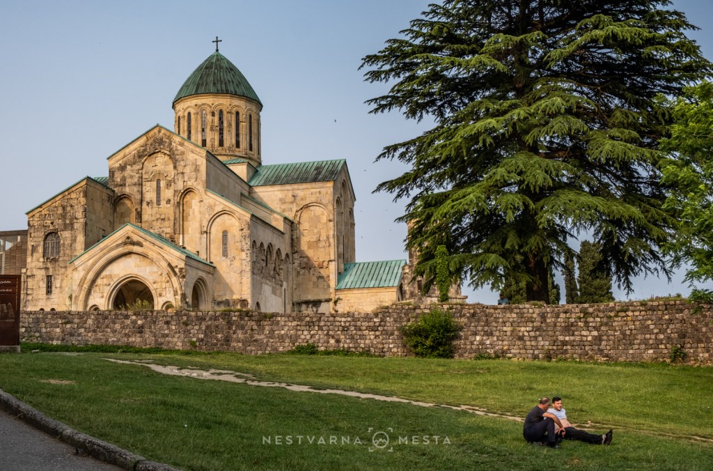
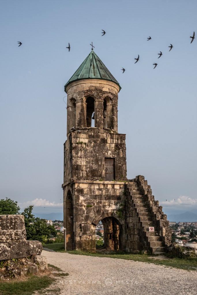
And finally, one day was reserved for charming Kutaisi. The restored Bagrati Cathedral, dating back to Georgia’s Golden Age, proudly dominates the cityscape. Kutaisi’s other major spiritual landmark, Gelati Monastery, was unfortunately closed for renovation at the time of our visit (June 2025).
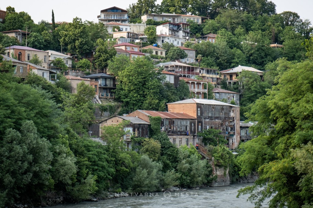
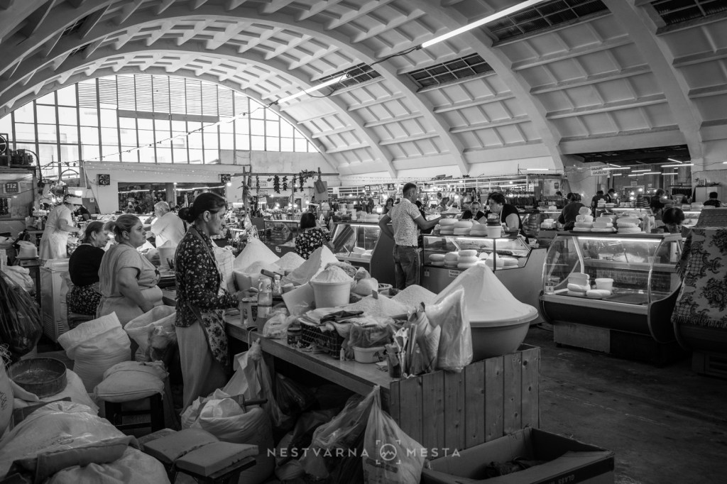
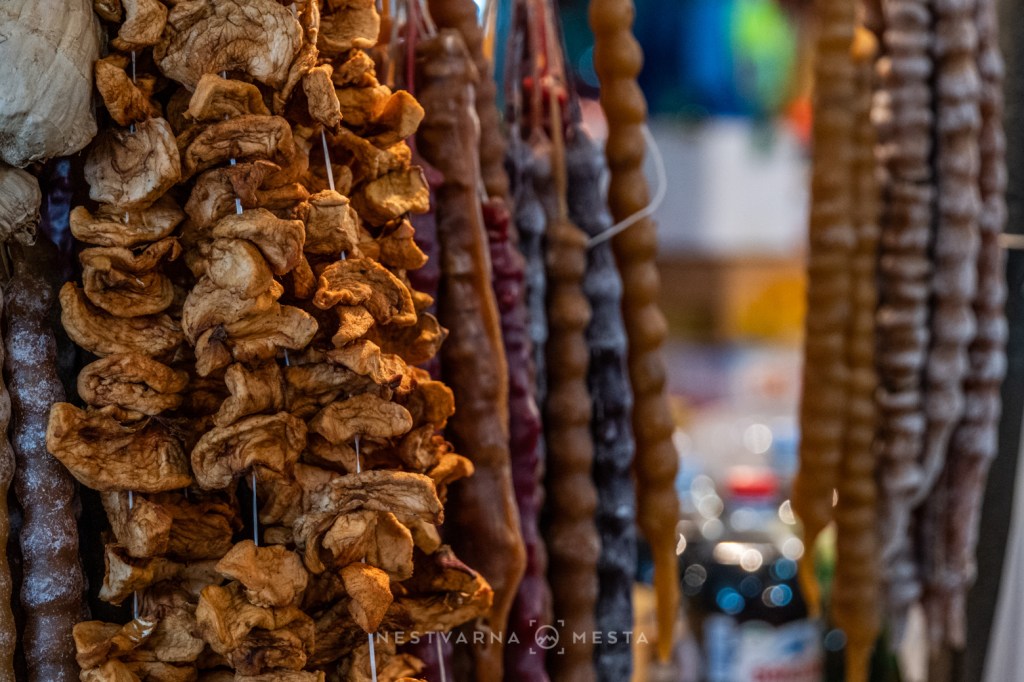
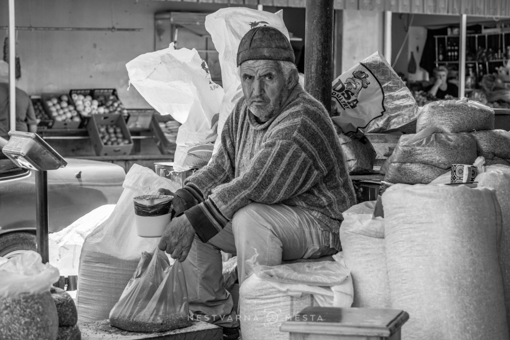
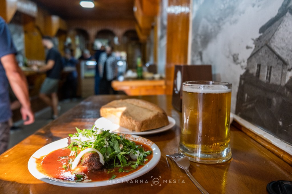
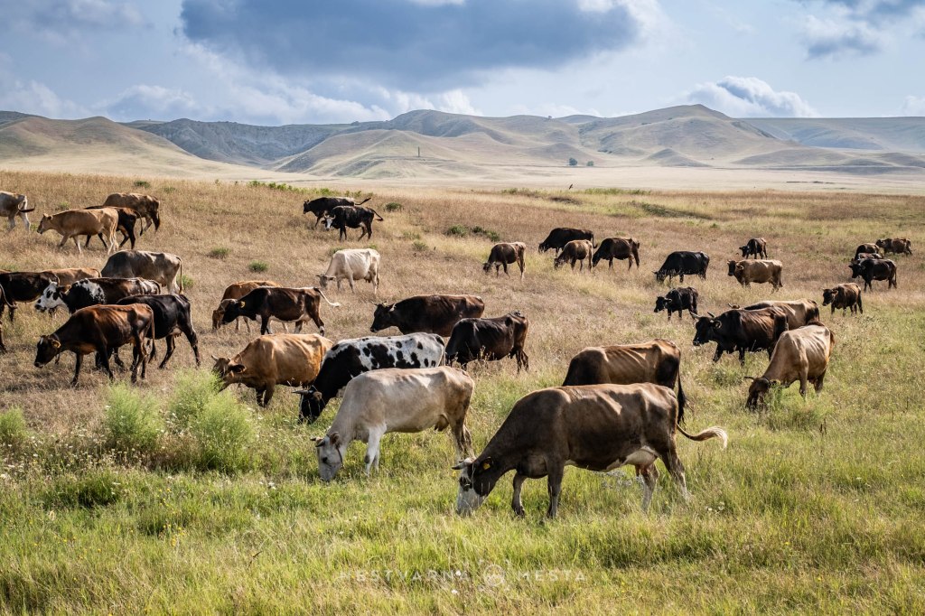
Georgian cuisine and wines are excellent, and Kutaisi is the perfect place for a gastronomic experience at affordable prices, considerably lower than those in Tbilisi. The day is best started at the green bazaar beneath the arched vault of a Soviet building. Georgian fruit and vegetables come straight from the source, while the meat is of exceptional quality. Animals roam freely everywhere we travelled during the previous seven days.



7 days loop: Tbilisi – Kazbegi – Kakheti (Red mountain) – Vardzia – Tbilisi
Kazbegi. ყაზბეგი.
Kazbek (Kazbegi) is a name associated with a town, a region and a mountain peak of the eastern Caucasus. It lies in northern Georgia, along the border with Ossetia (Russian Federation).
The word Kazbek is of Turkic origin. Much like the mountainous Balkans, both sides of the Caucasus have seen peoples migrate and rulers come and go throughout history. As a result, today we encounter different ethnic groups, languages, scripts and religions within a relatively small area. In Georgian, Mount Kazbegi is also called Mkinvartsveri, roughly meaning “ice-cold mountain”, while the town itself is officially named Stepantsminda. Kazbegi is Bešlam in Ingush, Bešloam in Chechen, and finally Kazbek in Kabardian and Russian.
Just as Yugoslavia acted as a cohesive factor in the western Balkans, the Soviet Union played a similar role here; its collapse revived tensions, bringing wars and new hard borders in the shadow of struggles for dominance among global and regional powers.
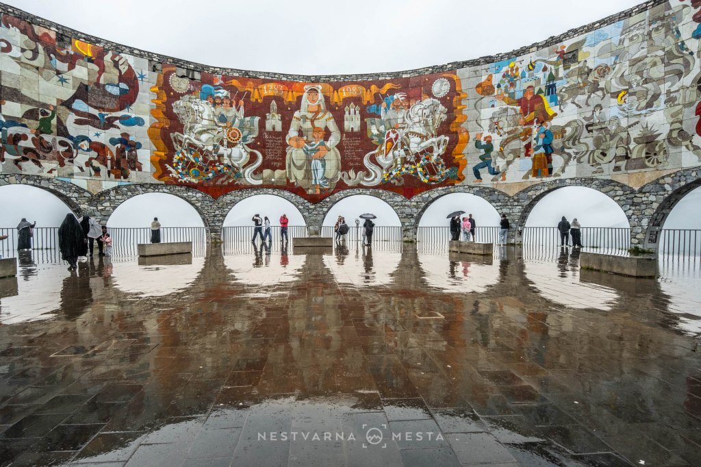
The Caucasus is a vast and unconquered mountain range. Historically, the easiest place to cross it was precisely the high Kazbegi region, more specifically the Gudauri Pass at an altitude of 2,400 metres. In 1783, Russian cavalry crossed the mountains here and “liberated” – or, for Georgians, “conquered” – a large part of present-day Georgia from its Muslim rulers.
The road dating from the late 18th century remains the most important transport link between Central Asia and the Black Sea: the Georgian Military Highway. Thanks to a long-running feat of engineering, Kazbegi and the Georgian capital, Tbilisi, are only a few hours’ drive apart.
Once you are up there, the mountains, with the help of an off-road vehicle, are almost within reach. The summits of the Caucasus remain inaccessible, but its impressive glacial valleys and high passes do not.
On arrival, straight from Tbilisi, we took a look into the Truso Valley.
The next morning we headed towards the village of Juta (ჯუთა) and crossed perhaps the most beautiful gentle stretch of Kazbegi, all the way to the famous Chauki Pass (ჭაუხი) at 3,400 metres above sea level.
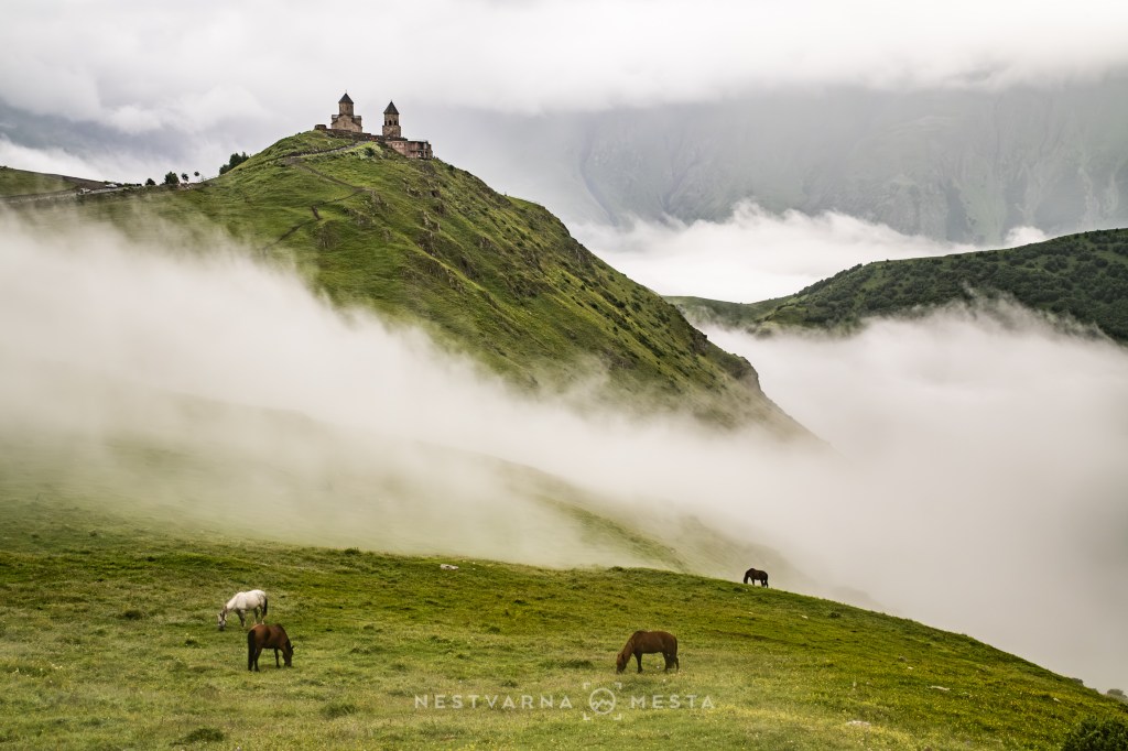
On the third morning, we lit a candle in the famous Holy Trinity Church on the Gergeti hill (გერგეტი), the spiritual symbol of Kazbegi and of Georgia as a whole.
Truso. თრუსო.
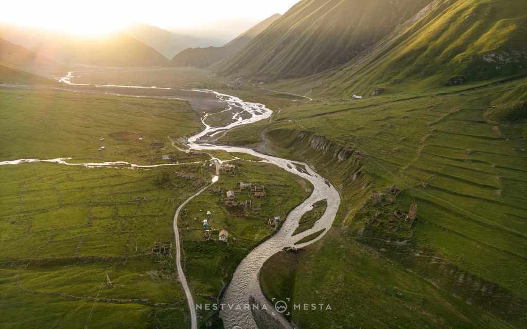
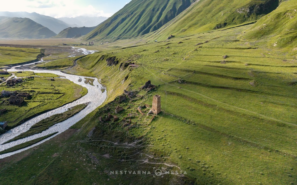
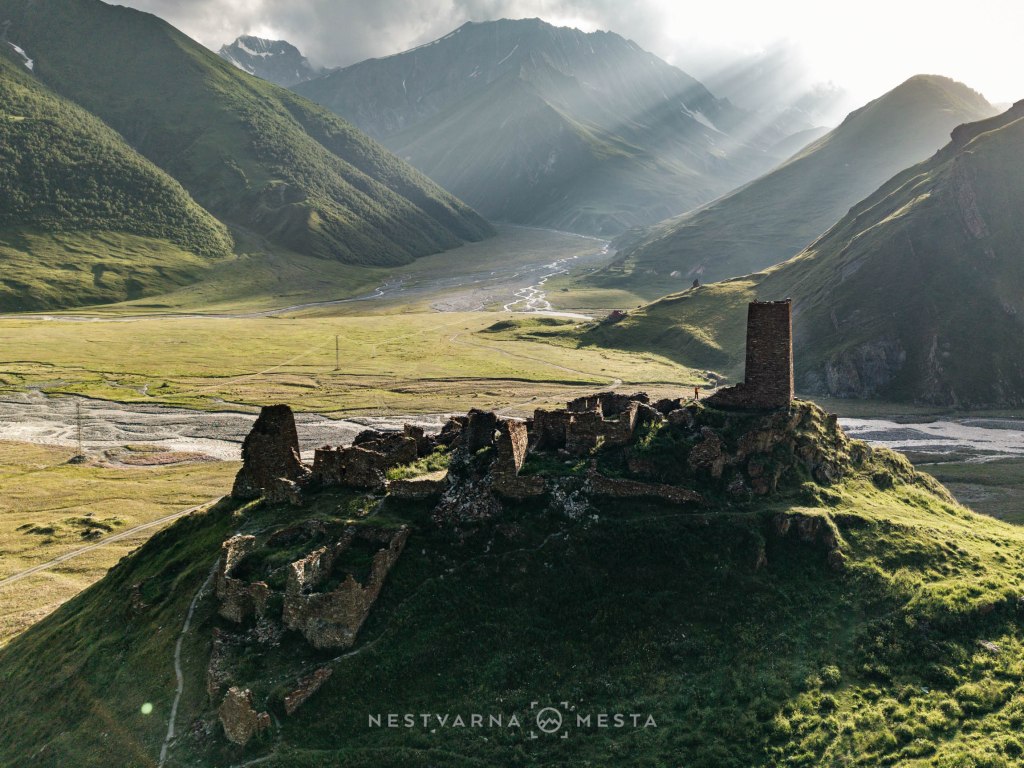
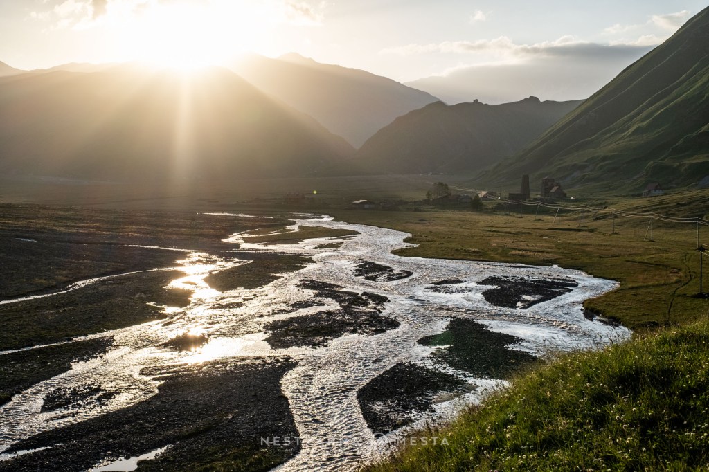
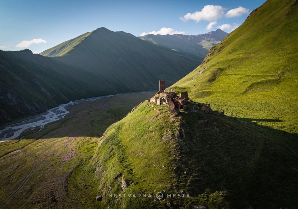
The glacial valley of the Tergi River, known as the Truso Valley, hides several authentic semi-abandoned villages and fortifications amid its wild landscape. From the Georgian Military Highway at Almasiani, near the lower cable-car station, a poor-quality road branches off and leads deeper into the mountains towards the west.
A proper off-road vehicle is essential for following this road. With skilful driving and careful avoidance of potholes and sharp rocks, it is possible to reach the very entrance to the valley (the Truso travertines) and, from there, cross the bridge to the more attractive opposite bank of the river.
The hiking trail passes above the old settlement of Ketrisi before rejoining the dusty road near Abano Monastery. The road finally ends at a Georgian Army border post beneath the old abandoned fortress of Zakogori. A few kilometres farther on, beyond the ridge, lie the occupied territories of the internationally unrecognised South Ossetia.
So, the road ends at the military post, yet the valley seems endless. From our starting point to Zakagori fortress we walked for almost three hours without really entering deep into the massif at all. Such are the dimensions of these mountains. The scale of the Caucasus is almost impossible to grasp!
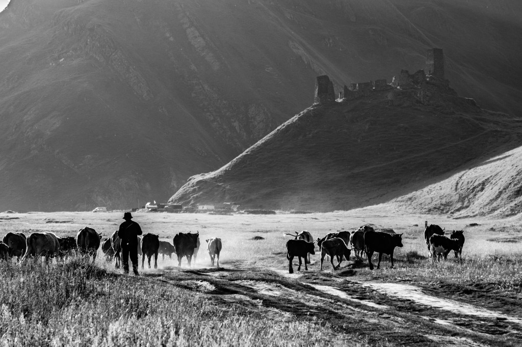
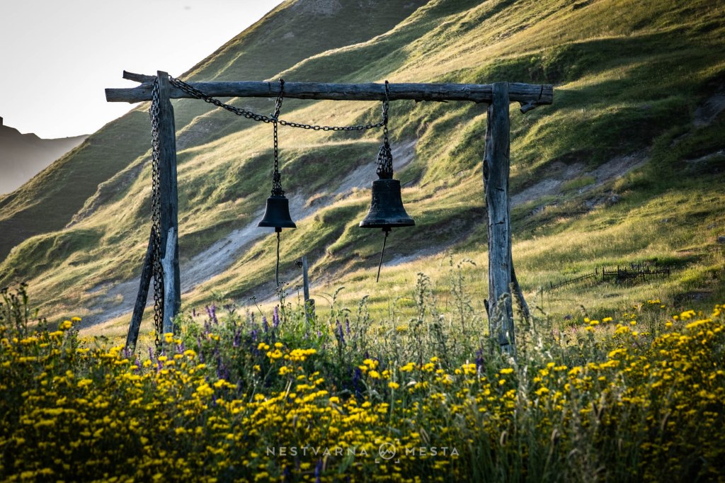
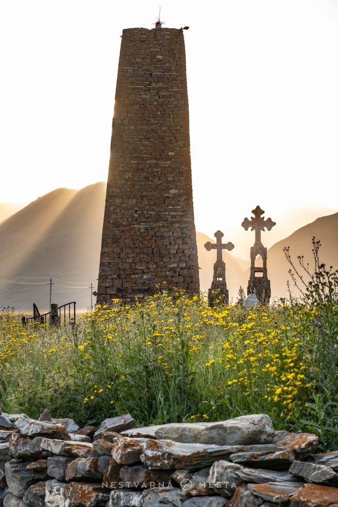
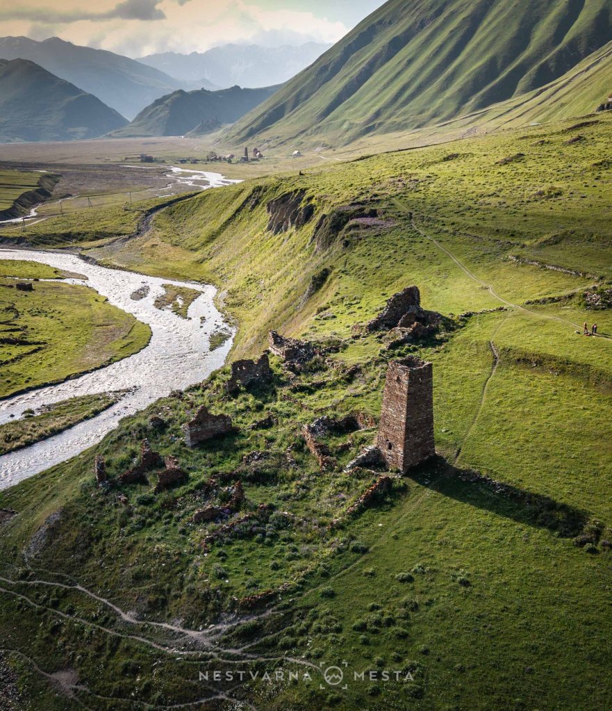
Juta. ჯუთა.
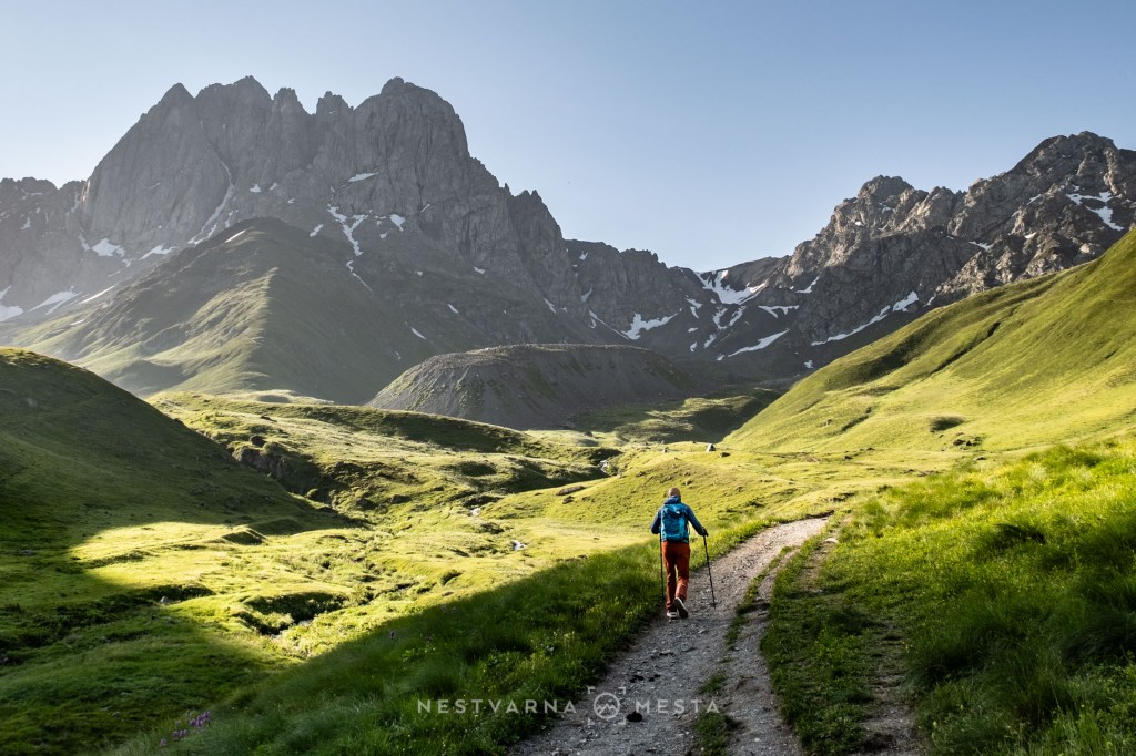
For many, the finest hiking experience that can be completed in a single day in Georgia is the picturesque high-mountain trek starting from the village of Juta and ending at the high Chauki Pass (ჭაუხის უღელტეხიული).
For this hike, expect 1,300 metres of elevation gain spread fairly steadily over 11 kilometres along a well-throdden mule track – and the same amount of descent on the way back. Much of the time is spent above 3,000 metres, where your stride becomes shorter and your breathing faster. A whole labyrinth of mountain streams surrounds the stone giants of the Chauki micro-massif, so there is no need to carry large supplies of water.
Timing is crucial if you want to experience this area properly, because hardly anyone comes to Kazbegi without heading to Juta. The road to the village is passable but badly damaged by a landslide, and the police often stand guard and stop traffic 3 km before the village entrance. To avoid an unnecessary extra six kilometres of walking on the same day, it is worth spending the night in Juta – for example, in one of the guesthouses above the village – and setting off properly early the next morning. With the first rays of sunlight, there will be almost no one in the mountains.
The views in the lower section are unmistakably alpine – spring does not reach these altitudes until late July, when the floral magic is at its peak.
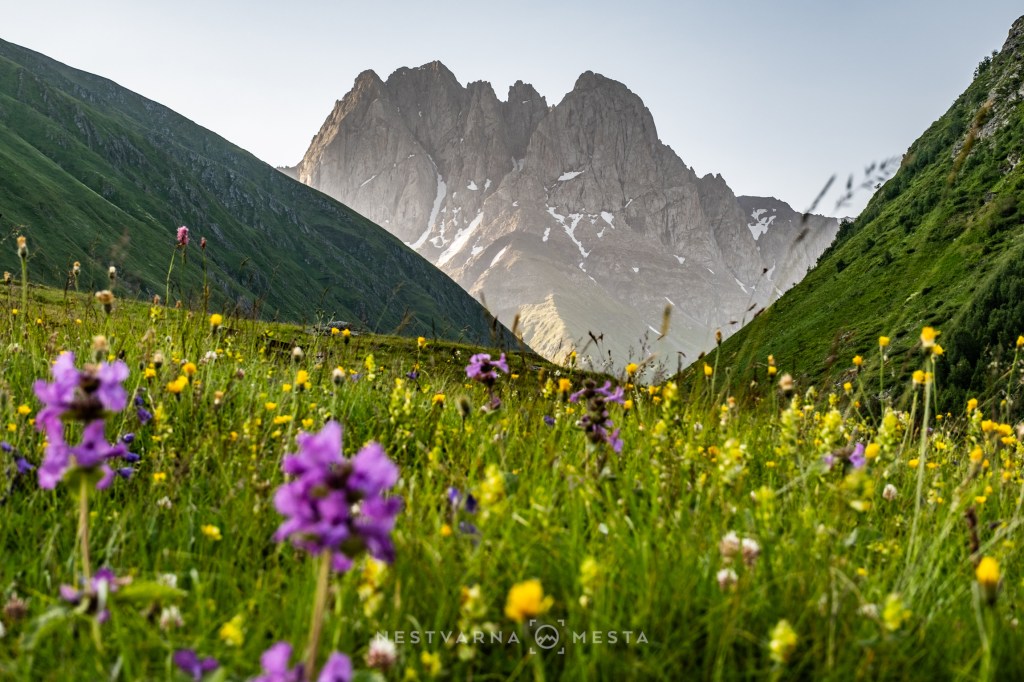
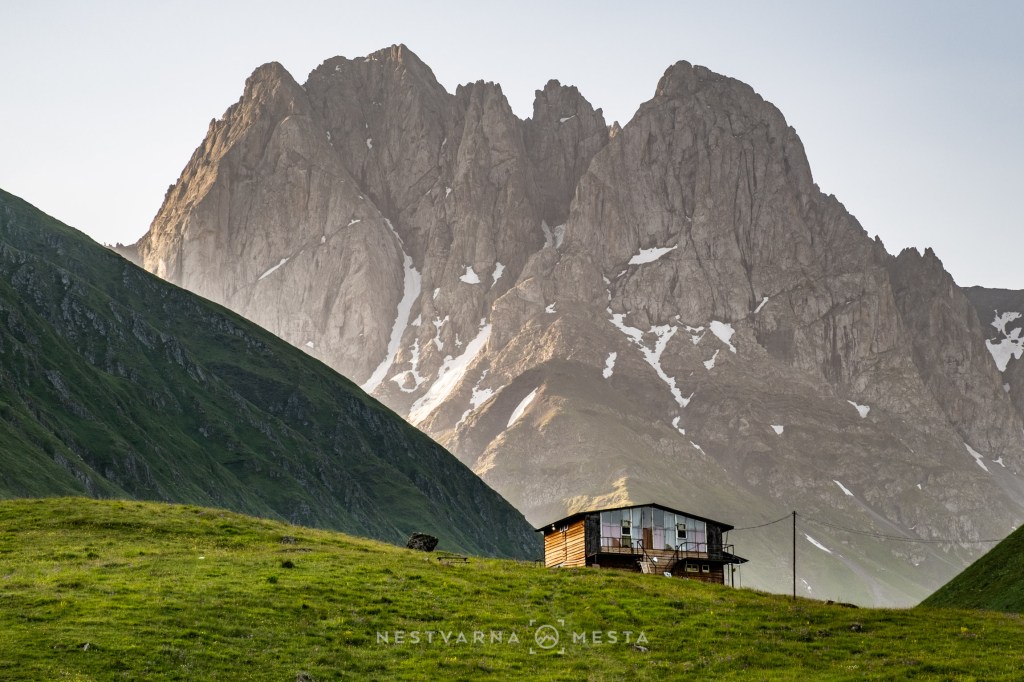
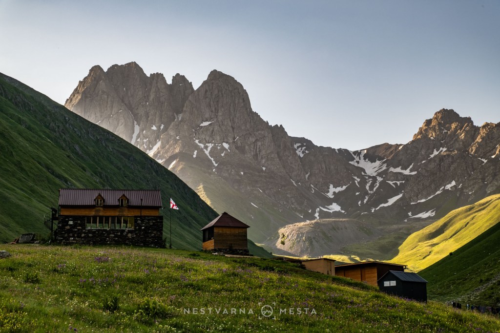
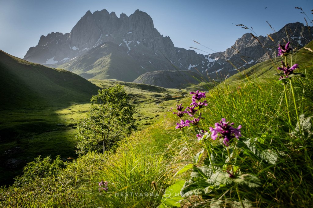
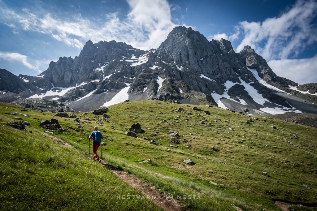
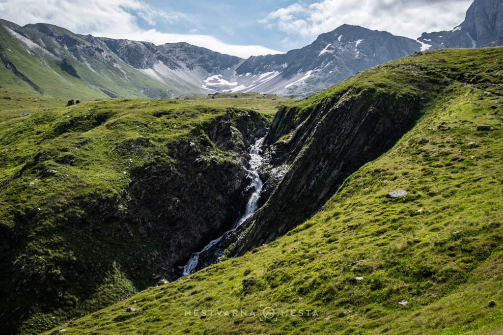
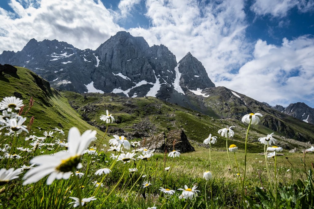
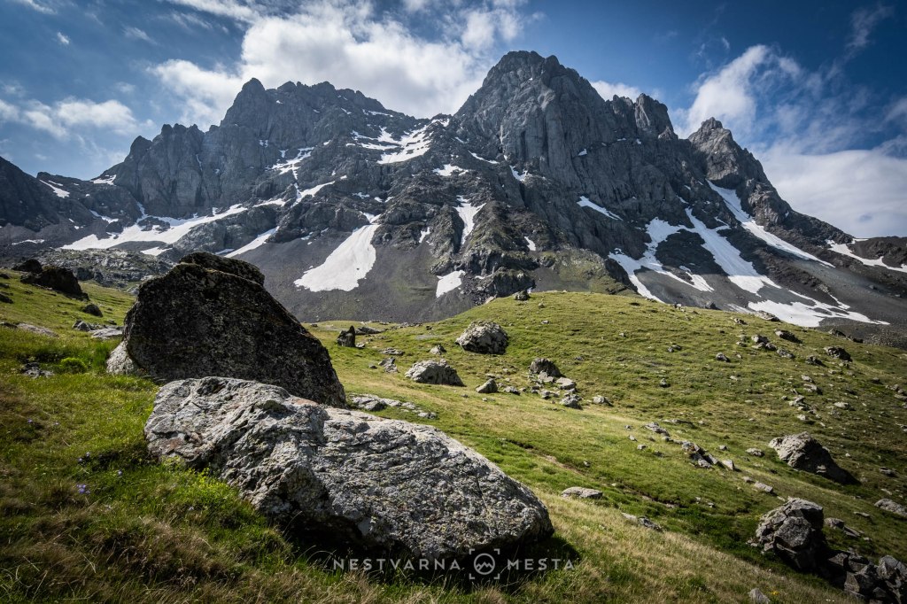
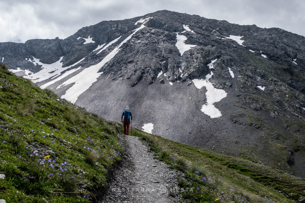
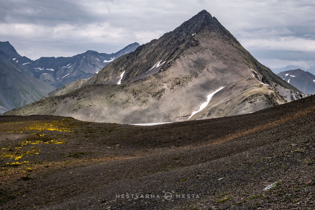
As we gain altitude on this epic track, the scenery gradually changes. The fresh green faces of the mountains give way to harsher, darker tones.
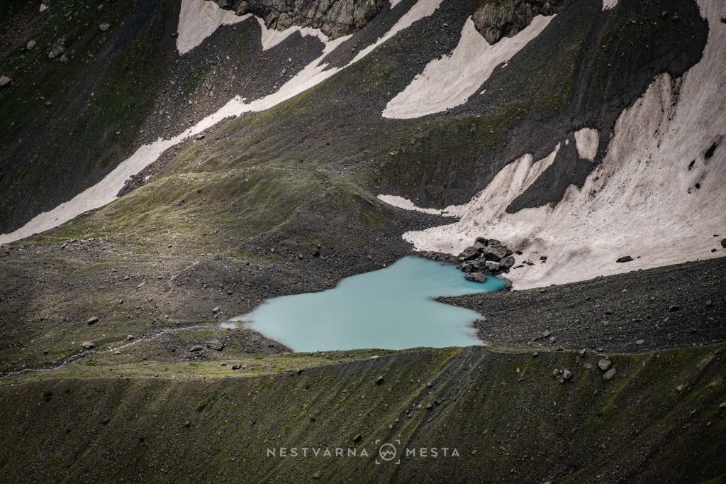
At and around the pass itself – Chauki Pass – we became convinced that the Caucasus is in fact an entire ocean of dormant volcanoes.
The gigantic stratovolcano on the western horizon is Kazbek. At 5,054 metres, with slopes that are not excessively steep and a supporting network of mountain huts and shelters along the ascent route, it is relatively accessible when the weather cooperates, compared with most Caucasian peaks of a similar height.
The ascent and descent, including numerous breaks, took us eight hours. We left our accommodation in the village of Sioni at 6 a.m., and by 4 p.m. we were already having lunch at the excellent “Samani” restaurant in Stepantsminda.
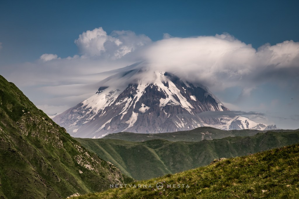
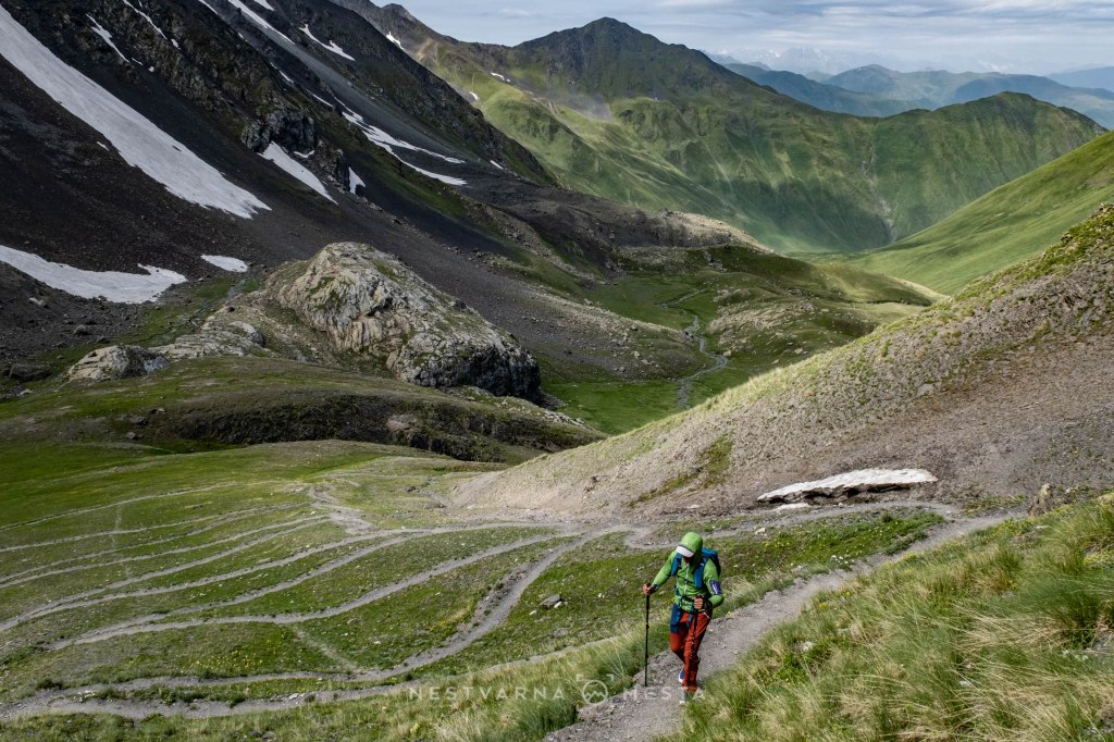
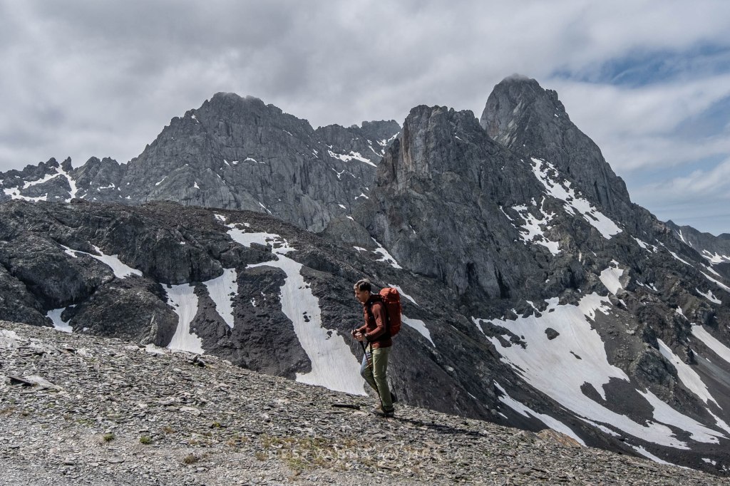
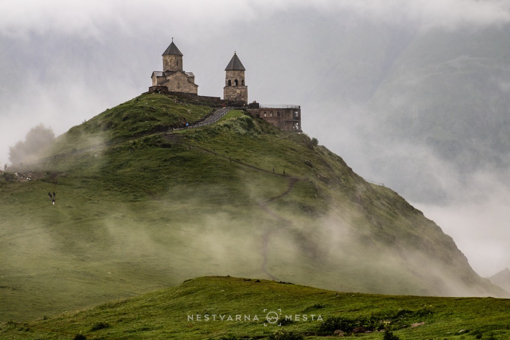
Two sunny days in Kazbegi felt like a gift from heaven; the next morning we woke to heavy rain. We said goodbye to Kazbegi in the most fitting place – the Holy Trinity Church on Gergeti hill.
Gergeti is a place rich in the symbolism of Georgian resistance and possesses a strong energy.
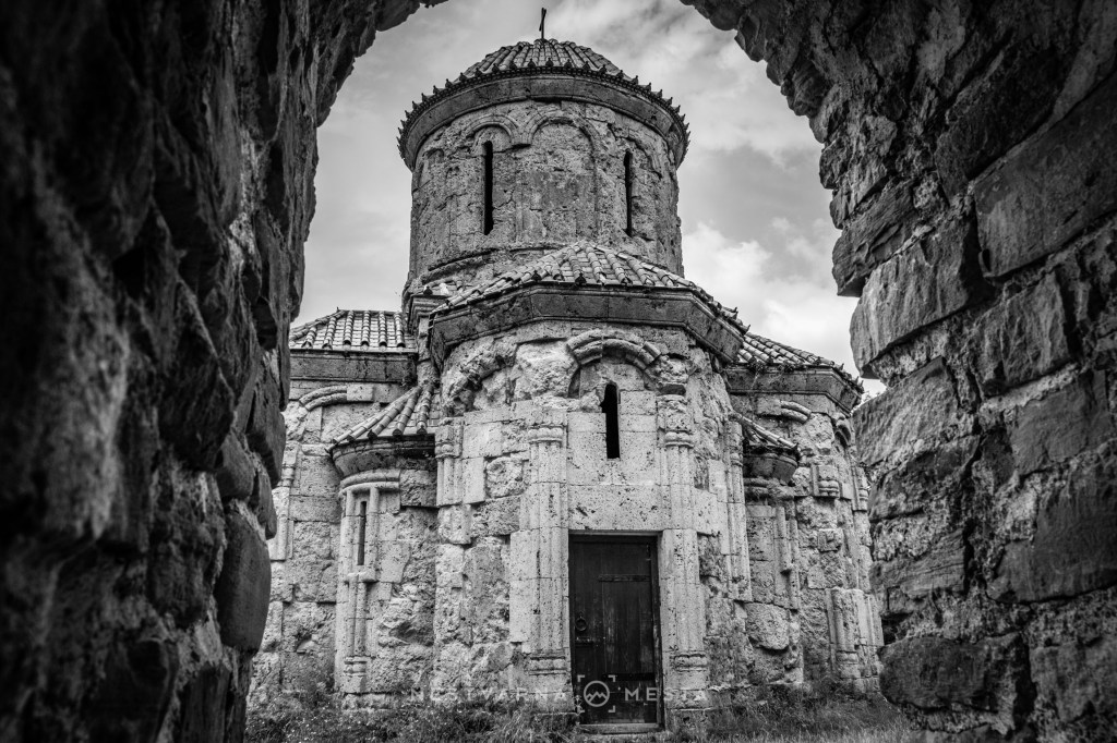
Discovering Georgia is a logical continuation of a decade spent actively exploring the Balkans. Mountains are the common denominator, but there are also many cultural similarities, even though the peoples of the Balkans and the Caucasus have hardly ever been in direct contact.
Mravaltskaro. მრავალწყარო.
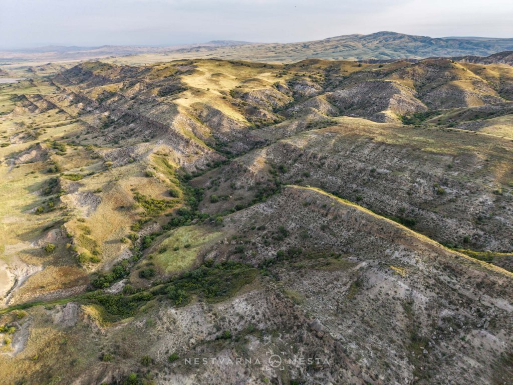
In the far south of the Georgian region of Kakheti, along the border with Azerbaijan, the dense sub-Caucasian forests suddenly give way to the barren steppe landscape of the Caspian Basin. Apart from the isolated village of Udabno, there are no human settlements for dozens of kilometres around.
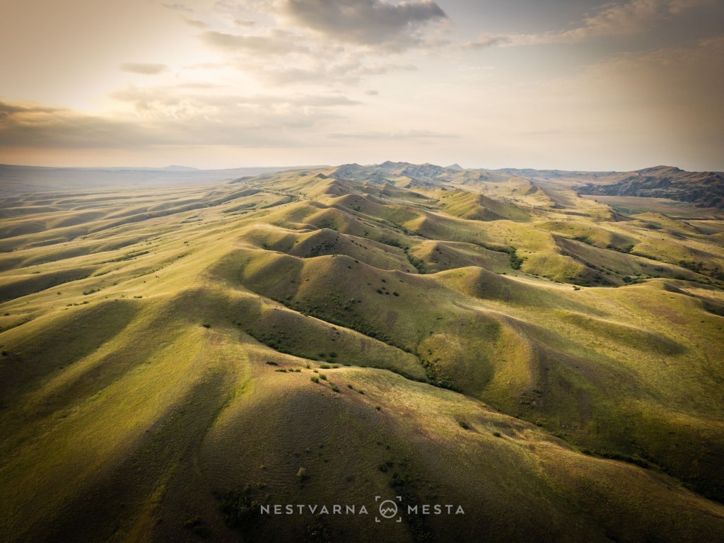
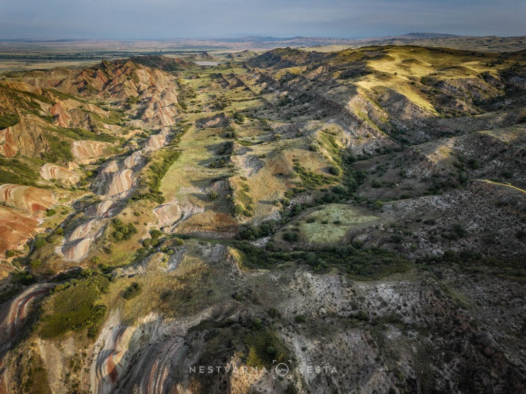
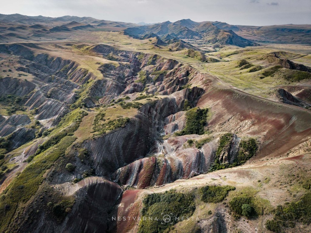
The rolling grassy hills conceal another natural singularity – Mravaltskaro, or მრავალწყარო in Kartvelian, translated here as the Red Mountain.
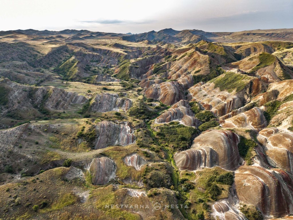
Soil erosion caused by wind, rain or some other event has locally stripped away the grassy shelves, revealing silicate layers permeated with iron minerals – hence the unexpected reddish colour.
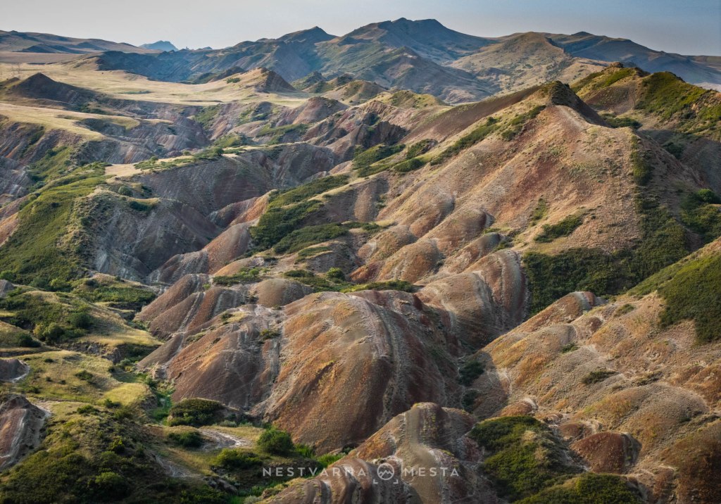
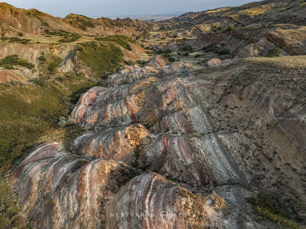
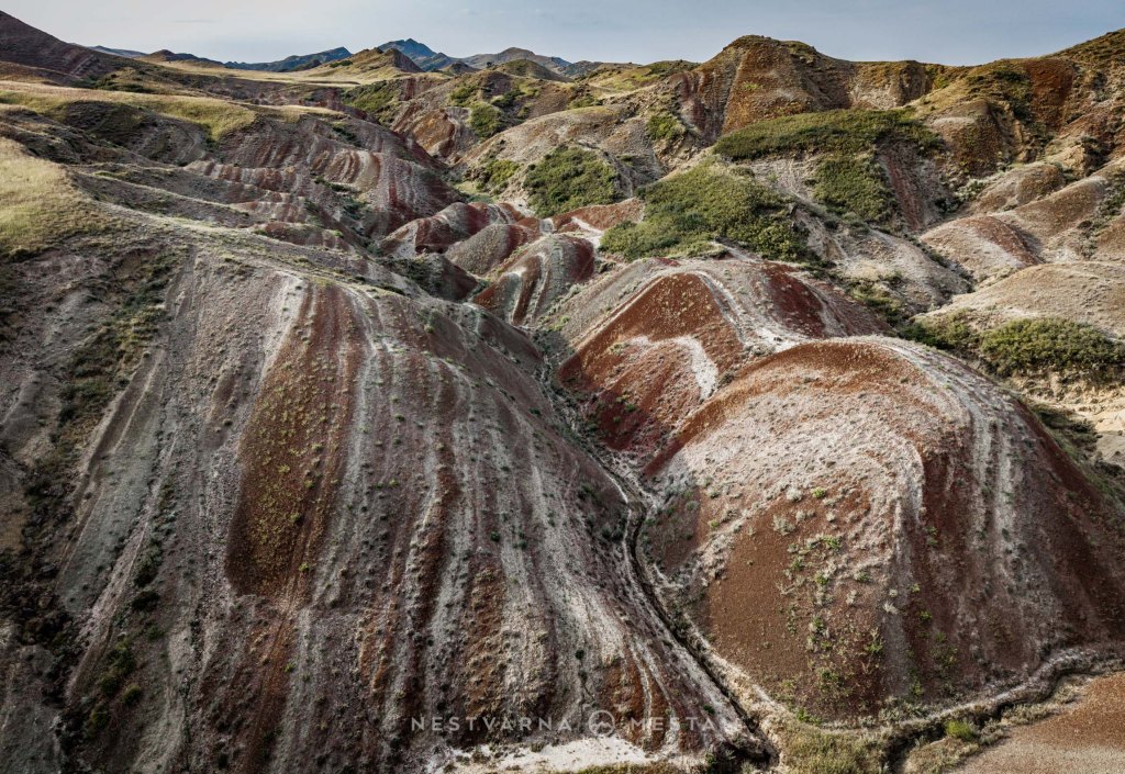
Beyond its unusual geological setting, the Red Mountain forms part of the wider landscape that owes its name to Davit Garejeli, one of the “Thirteen Assyrian Fathers” who came to Georgia from Mesopotamia in the 6th century to strengthen the Christian faith.
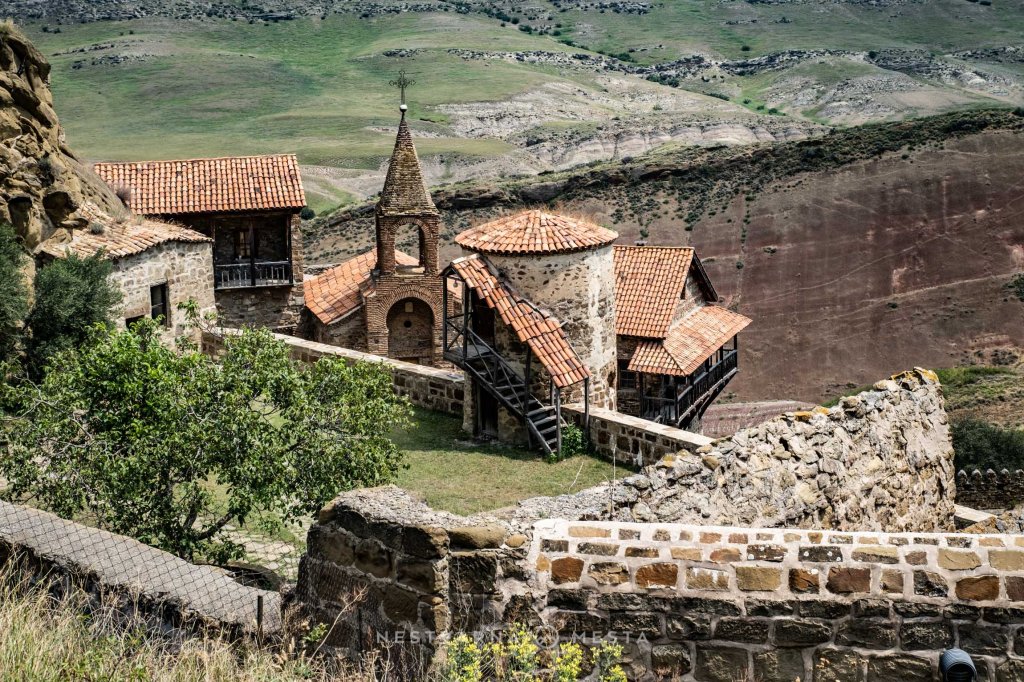
According to Georgian church tradition, the missionary Davit Gareji (დავით გარეჯი) founded a monastery at this site.
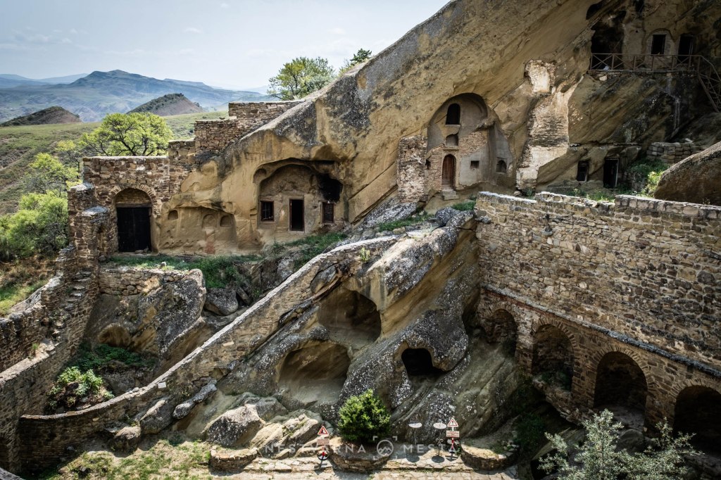
The monastery was ravaged several times over the centuries and was finally sealed off by the Bolshevik Revolution of 1921. Its revival came only after the collapse of the Soviet Union and Georgia’s independence.
The wider area contains several more cave churches and ascetic cells, but they are not easy to reach. Roads practically do not exist, while the Georgian army patrols the area. Azerbaijan lies only a few hundred metres farther south. Part of the monastery complex extends across the border, which is why the two states have an ongoing territorial dispute.
The ideal base for exploring the Georgian steppe is a “caravanserai” on the edge of the village of Udabno. Far from the beaten tourist routes,
The Oasis Club is a refuge for bikers, overlanders and wandering photography enthusiasts. Kinga and Ksawery from Poland moved here 13 years ago and created a miniature cultural centre literally in the middle of nowhere – hats off to them. It is worth coming here and simply surrendering to the charms of real, unspoilt Georgia.
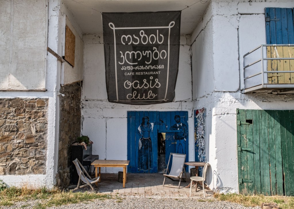

I am especially grateful to dear Ksawery for his invaluable help in searching for the right views. Unlike the surroundings of the monastery itself, which literally lies along a sensitive border line, the true jewel of the area lies about 15 kilometres farther west. It can be reached only with the assistance of a proper off-road vehicle.
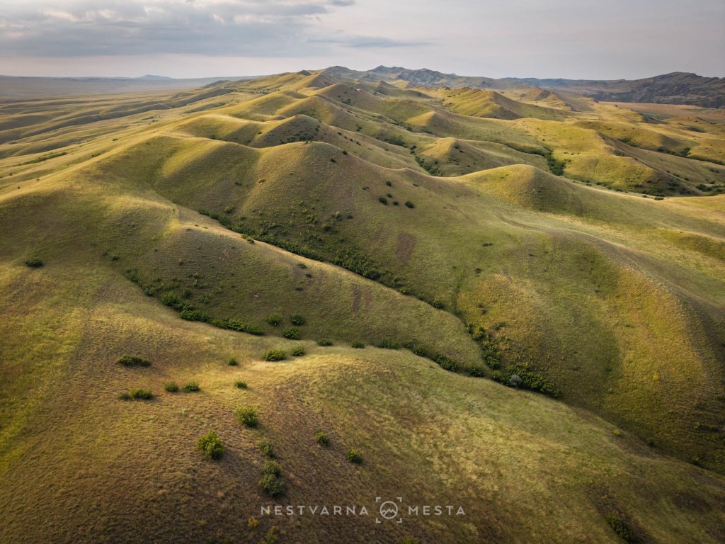
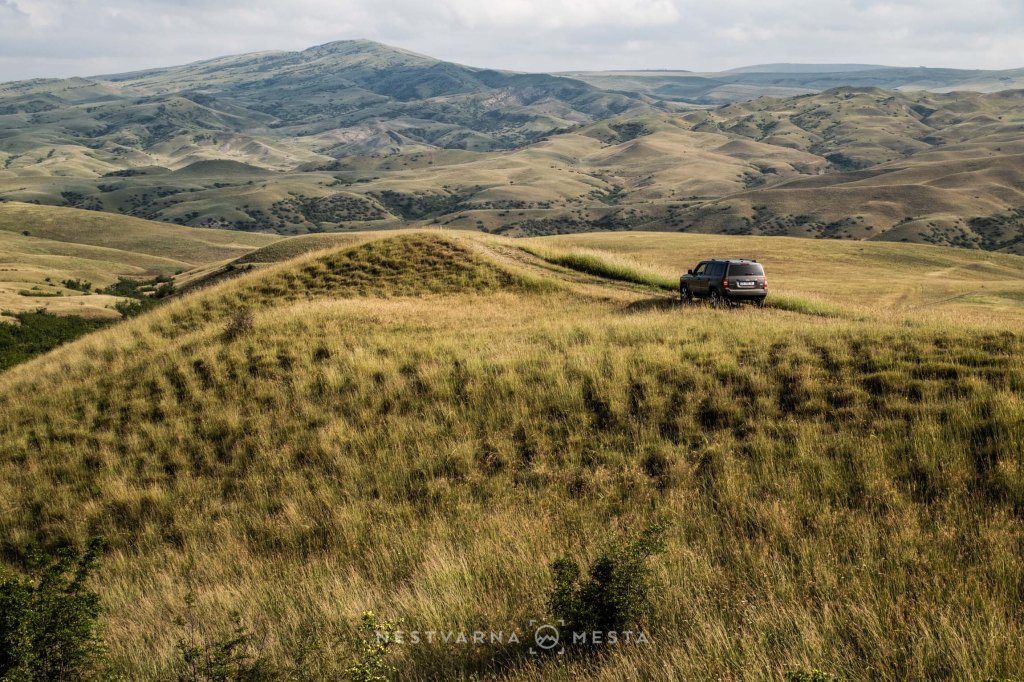
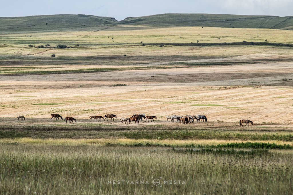
After almost an hour of patient driving through the steppe and over grassy hills, the unexpected sight of the Red Mountain suddenly appears.
Otherworldly, extraordinary, surreal!
And all of this only a few hours from the capital, Tbilisi!
Complete tranquillity, not a soul in sight.
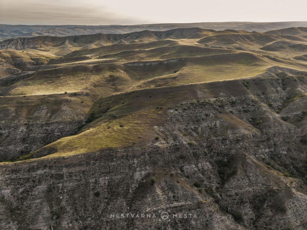
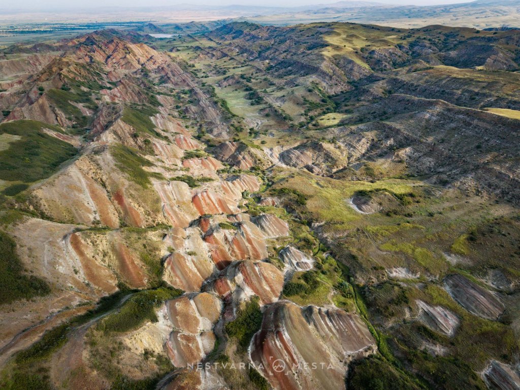
The village of Udabno itself also has an unusual story. Udabno (უდაბნო) means “desert” in Georgian. It was created through the forced resettlement of people from the mountainous region of Svaneti near the very end of the Soviet era, in 1987. Today, more than half of the houses in the village are abandoned, while the remaining population lives from livestock farming and agriculture.
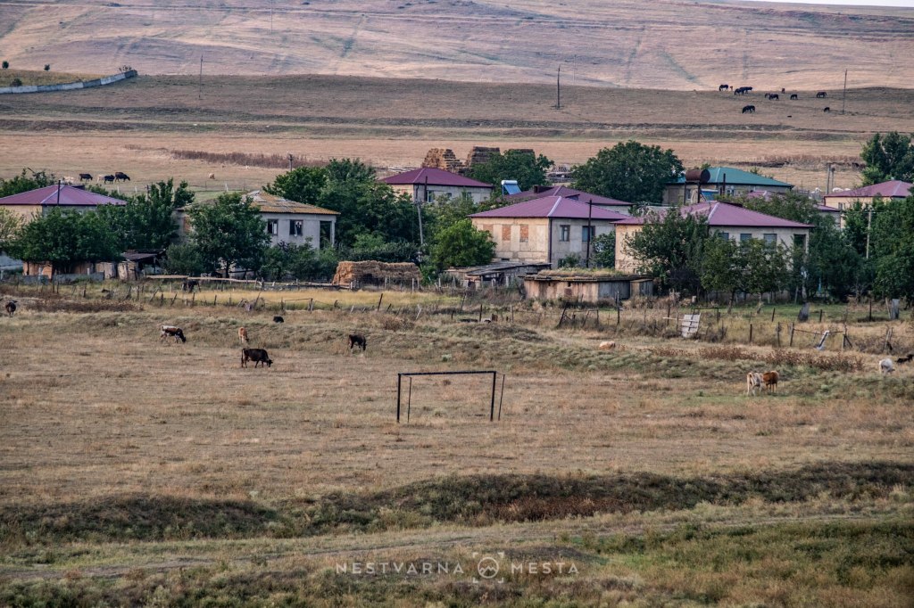
These unexpected landscapes in an unusual, remote corner of Georgia, seemingly made for the pages of an unreal travel blog, were the perfect complement to our two-day mountain programme. Who knows whether we would ever have made it here had the heavy rain not driven us out of Kazbegi…
And what must all of this look like in late autumn, when the moisture clears from the air beneath the low angle of the November sun? I will find it hard to resist finding out.
After two nights spent beneath the stars in the steppe, we travelled from the Azerbaijani border all the way to the Turkish border at the opposite end of the country, to ancient Vardzia.
Vardzia. ვარძია.
“აქ ვარ ძია” (ak var dzia) – “I am here, uncle.”
In southern Georgia, right by the border with Turkey, lies a place that seems to have been lifted straight from Borges’s “Ficciones”.
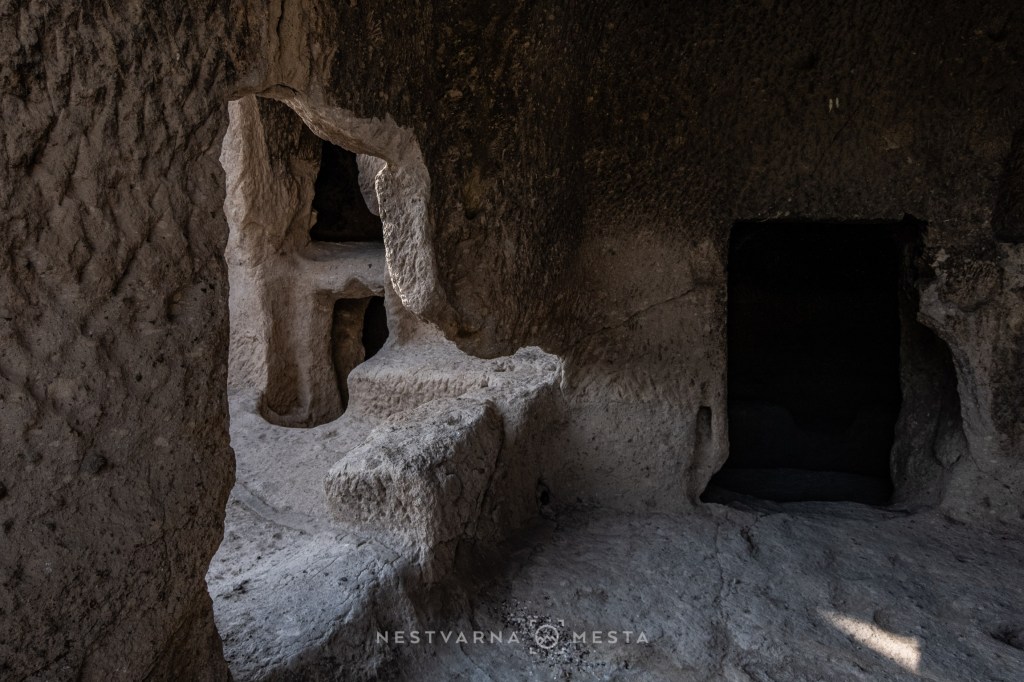
In the porous rock of Mount Erusheti, in the gorge of the Kura River, an entire city was carved almost a thousand years ago. This is the extraordinary Vardzia (ვარძია).
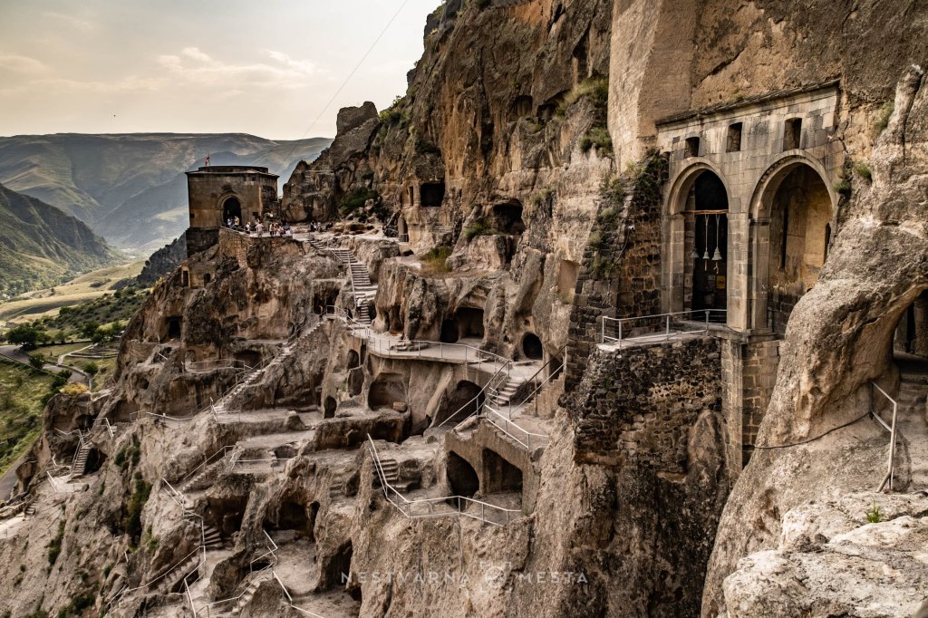
This cave labyrinth is in fact an ancient monastery. At its heart is a rock-hewn church dedicated to the Dormition of the Mother of God. The construction of the church is attributed to mepe Tamar, the key ruler of the Bagrationi dynasty during Georgia’s Golden Age in the 12th century.
In the Middle Ages, Georgian sovereigns bore the title mepe (მეფე). Since the noun is grammatically gender-neutral, mepe Tamar was not a queen but a “female king”. Celebrated in the epic of her contemporary poet Shota Rustaveli, her reign is regarded as the zenith of medieval Georgian statehood.
According to legend, the young Tamar became lost in the caves of Vardzia during a hunt led by King George III. When her companion called out to her, she replied in Georgian, “ak var-dzia”, meaning “I am here, uncle.”
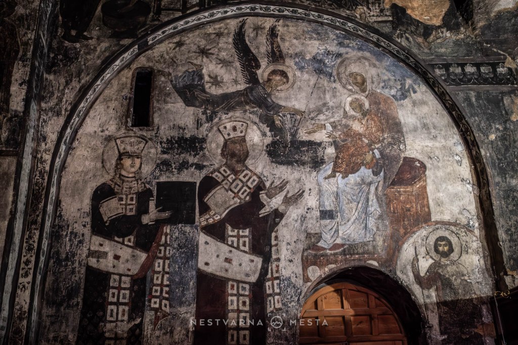
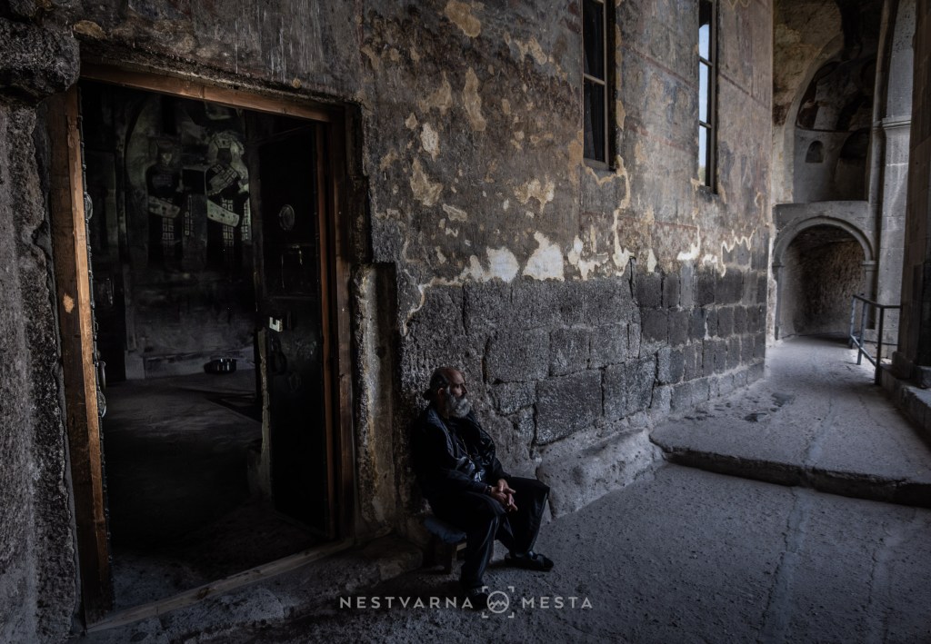
The entire complex consists of more than five hundred caves and passages serving a wide variety of purposes, from living quarters and water cisterns to cellars for storing wine and food. It seems that the monastery served as a kind of fallback position for the royal family in the event of an enemy invasion. And there were many enemies at the time – Alans, Seljuks and Persians advanced from the south, Mongols and Tatars from the north. Most were conquerors of the Muslim faith.
Together with Armenia, Georgia is a beacon of Eastern Christianity, and it is remarkable that through the centuries they managed to preserve their faith.
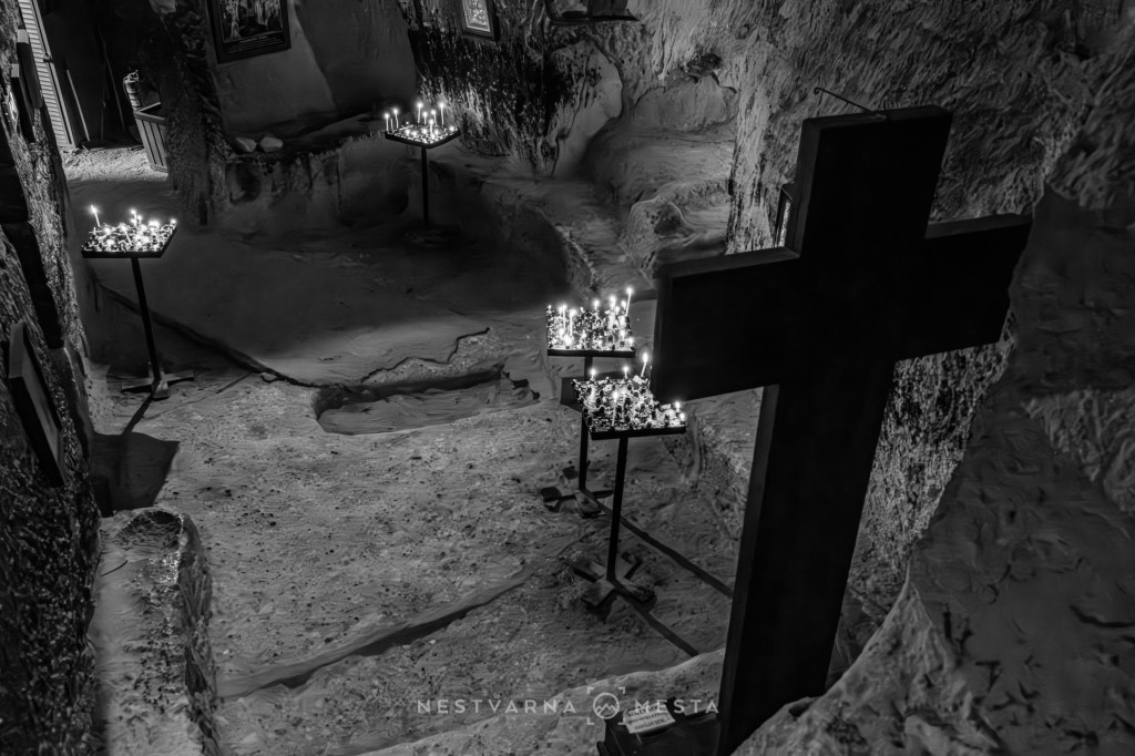
The country’s mountainous terrain contributed greatly to this, and the area around Vardzia illustrates it perfectly. Nevertheless, by the end of the 16th century the southern and western parts of Georgia fell under Ottoman rule. Vardzia was abandoned and forgotten.

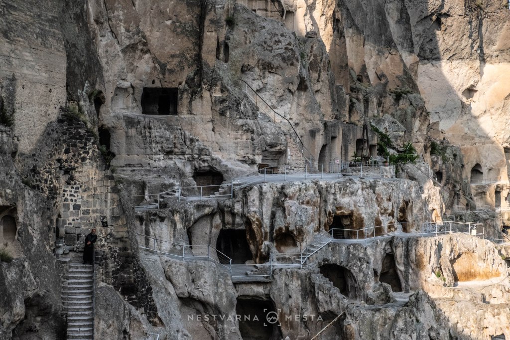
Freedom came only after the First World War, and even then only briefly. The Treaty of Kars in 1921 established new borders between Turkey and the new Transcaucasian republics, which the Bolshevik Revolution absorbed into the Soviet Union the following year. The southern parts of the historical Georgian region of Meskheti remained permanently in Turkey, while the Turkish population in the northern Soviet part was forcibly deported at the end of the Second World War to the Central Asian Soviet republics of Kazakhstan and Kyrgyzstan. Many Turks died during that persecution.
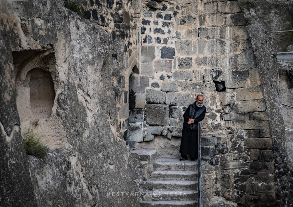
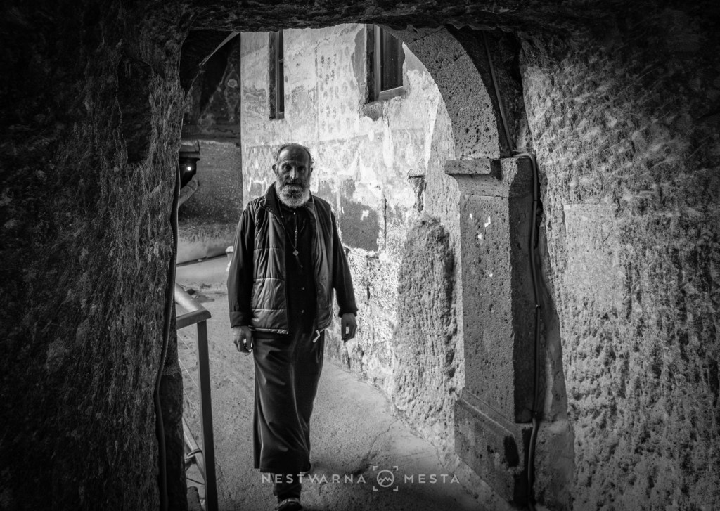
Today, Vardzia is both a museum and a living monastery, permanently inhabited by a small number of monks.
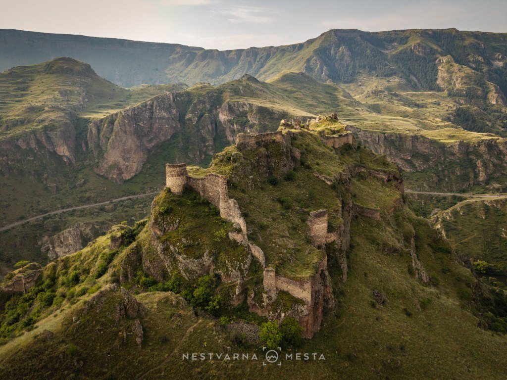
A few kilometres downstream, high above the river valley, stands the abandoned fortress of Tmogvi. Seen from below, from the main road, it only hints at the beauty of the place.
It took me more than half an hour to make my way around and climb up by off-road vehicle over rough gravel before I finally saw this:
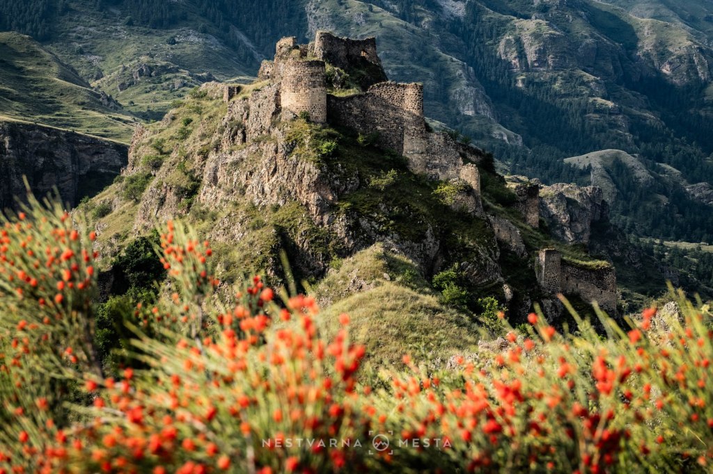
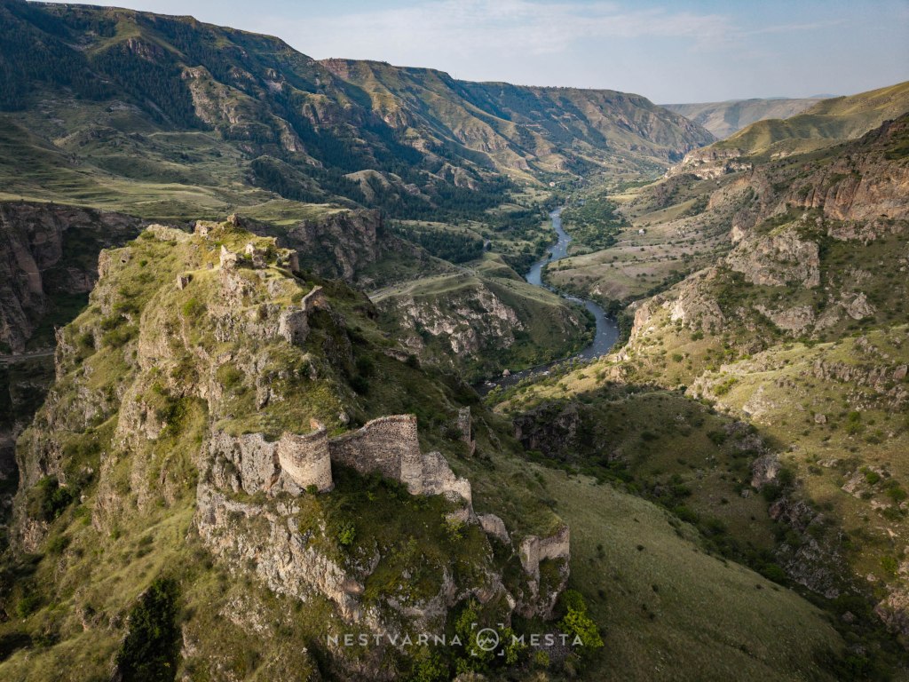
It is a view that takes the observer back to the time when kings ruled here – the kings after whom this country acquired its other familiar name, Georgia.
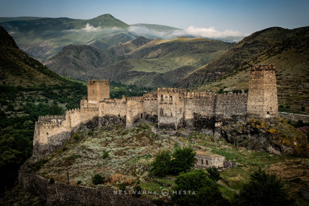
Farther downstream, at the confluence of the Paravani and Kura rivers, stands the final strategic fortification – one might call it Vardzia’s second ring of defence. This is the well-preserved and restored Khertvisi Fortress.
Located close to the settlement itself, beside the main road, Khertvisi does not possess the same magic as forgotten Tmogvi, simply because it is too close to the modern world. Still, it was worth taking in the view from a nearby rise and walking across the suspension bridge close by.
The biggest mistake a traveller can make is to stop at Vardzia only in passing, for a couple of hours. The magic of the place emerges only after most ordinary visitors have left.
We spent the night in accommodation opposite the museum-city. On the terrace overlooking Vardzia across the shimmering river, our host served us fresh trout from his own fish pond. The fish was accompanied by excellent homemade white wine, because these are wine-growing lands with a tradition measured not in centuries but in millennia. Wine in this region was stored underground in large amphorae – the famous qvevri.
The hospitality of local hosts is an inseparable part of the experience that makes a journey special, and there is no shortage of it in Georgia’s smaller towns and villages. In that respect, Vardzia was the crowning point of this year’s journey.
In eight days we came face to face with the peaks of the Caucasus, wandered through the steppe desert and visited this ancient city. From Tbilisi to Vardzia, I recommend the route via Lake Paravani and the Chikiani Pass (2,170 m above sea level).
On the return journey, it is worth visiting Safara Monastery, dedicated to the Georgian Saint Sava. The frescoes at Safara are among the most beautiful I have seen. A young priest did not allow me to take photographs, so unfortunately I cannot convey the visual impression. This time, you will simply have to take my word for it.
Sakartvelo, June 2025 + July 2026
Nebojša Atanacković

